La Soledad geodata
La Soledad (Guerrero) is a populated place; located in Mexico in America/Mexico_City (GMT-6) time zone. With population of 1,302 people, there are 6663 cities with bigger population in this country. Compared to other cities in Mexico, 90% of cities are located further ↑North; 61.7% of cities are located further ←West and 63% of cities have higher elevation than La Soledad. Note1


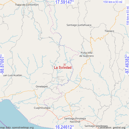
La Soledad GPS coordinates[2]
16° 55' 12" North, 98° 10' 0.984" West
| Map corner | latitude | longitude |
|---|---|---|
| Upper-left | 17.59147°, | -98.87007° |
| Center: | 16.92°, | -98.16694° |
| Lower-right: | 16.24612°, | -97.46382° |
| Map W x H: | 149.6×149.6 km | = 93×93mi |
| max Lat: | 32.7° ⇑90% North |
| La Soledad: | 16.92° |
| min Lat: | ⇓10% South 14.53588° |
| min Long | La Soledad | max Long |
| -117.105° | -98.16694° | -86.73105° |
| W 61.7%⇐ | ⇒38.3% E |
Elevation
Elevation of La Soledad is 815 m = 2674 ft, and this is 438.7 m = 1439 ft below average elevation for this country.
| Max E: |
3497 m = 11473 ft | 63% |
| Avg. | 1253.7 m = 4113 ft | |
| La Soledad | 815 m = 2674 ft | |
Min E: |
-1 m = -3 ft | 37% |
See also: Mexico elevation on elevation.city.
Geographical zone
La Soledad is located in North Torrid zone (between Equator and Tropic of Cancer). Distance of this Northern Tropic circle is 724.6 km =450.2 mi to North.| Distance of | km | miles | from La Soledad |
|---|---|---|---|
| North Pole | 8125.7 | 5049.1 | to North |
| Arctic Circle | 5519.8 | 3429.8 | to North |
| Tropic Cancer | 724.6 | 450.2 | to North |
| Equator | 1881.3 | 1169 | to South |


Nearby cities:
15 places around La Soledad: (largest is in red/bold)
• Colonia Renacimiento
17.6 km =10.9 mi,  185°
185°
• El Carmen
8.2 km =5.1 mi,  294°
294°
• El Coyul
17.9 km =11.1 mi,  329°
329°
• El Santiago
18.2 km =11.3 mi, 193°
• Guadalupe Mano de León
3.2 km =2 mi, 189°
• Guadalupe Victoria
18.3 km =11.4 mi,  184°
184°
• La Trinidad
17.2 km =10.7 mi,  353°
353°
• Plan de Pierna
16.6 km =10.3 mi, 192°
• Rancho Viejo (Rancho Nuevo de la Democracia)
13.9 km =8.6 mi, 334°
• San José de las Flores
12.8 km =8 mi,  93°
93°
• San Pedro Cuitlapan
10.8 km =6.7 mi,  303°
303°
• Santa Cruz Yucucani
18.3 km =11.4 mi,  18°
18°
• Terrero Venado
18.3 km =11.4 mi,  277°
277°
• Xochistlahuaca
16 km =9.9 mi,  209°
209°
• Yoloxóchitl (Santiago Yoloxóchitl)
11.2 km =7 mi, 328°
Sources, notices
• [Note1] Compared only with cities in Mexico existing in our database
• [Src1] Map data: © OpenStreetMap contributors (CC-BY-SA)
• [Src2] Other city data from geonames.org with taken over terms of usage.
• [Src3] Geographical zone / Annual Mean Temperature by Robert A. Rohde @ Wikipedia
