San Juan Tezongo geodata
San Juan Tezongo (Puebla) is a populated place; located in Mexico in America/Mexico_City (GMT-6) time zone. With population of 1,144 people, there are 7588 cities with bigger population in this country. Compared to other cities in Mexico, 53.9% of cities are located further ↓South; 70.9% of cities are located further ←West and 61.1% of cities have lower elevation than San Juan Tezongo. Note1


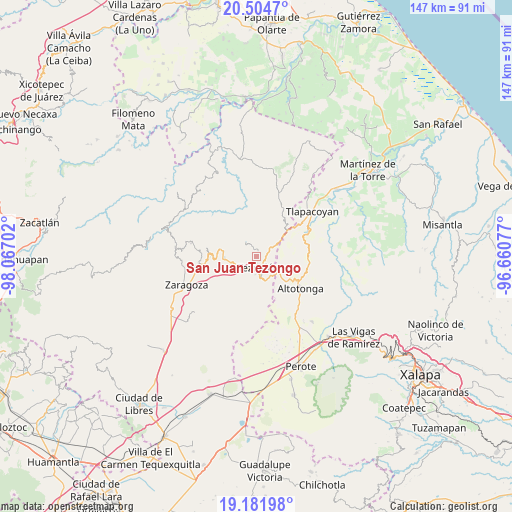
San Juan Tezongo GPS coordinates[2]
19° 50' 40.992" North, 97° 21' 50.004" West
| Map corner | latitude | longitude |
|---|---|---|
| Upper-left | 20.5047°, | -98.06702° |
| Center: | 19.84472°, | -97.36389° |
| Lower-right: | 19.18198°, | -96.66077° |
| Map W x H: | 147.1×147.1 km | = 91.4×91.4mi |
| max Lat: | 32.7° ⇑46.1% North |
| San Juan Tezongo: | 19.84472° |
| min Lat: | ⇓53.9% South 14.53588° |
| min Long | San Juan Tezong | max Long |
| -117.105° | -97.36389° | -86.73105° |
| W 70.9%⇐ | ⇒29.1% E |
Elevation
Elevation of San Juan Tezongo is 1746 m = 5728 ft, and this is 492.3 m = 1615 ft above average elevation for this country.
| Max E: |
3497 m = 11473 ft | 38.9% |
| San Juan Tezongo | 1746 m 5728 ft | |
| Avg. | 1253.7 m = 4113 ft | |
Min E: |
-1 m = -3 ft | 61.1% |
See also: Mexico elevation on elevation.city.
Geographical zone
San Juan Tezongo is located in North Torrid zone (between Equator and Tropic of Cancer). Distance of this Northern Tropic circle is 399.4 km =248.2 mi to North.| Distance of | km | miles | from San Juan Tezongo |
|---|---|---|---|
| North Pole | 7800.5 | 4847 | to North |
| Arctic Circle | 5194.6 | 3227.8 | to North |
| Tropic Cancer | 399.4 | 248.2 | to North |
| Equator | 2206.5 | 1371.1 | to South |


Nearby cities:
15 places around San Juan Tezongo: (largest is in red/bold)
• Atoluca
1.6 km =1 mi,  43°
43°
• Chinautla
3.8 km =2.4 mi,  223°
223°
• Huehueymico
3.4 km =2.1 mi,  96°
96°
• Ixtahuiata (La Legua)
3 km =1.9 mi,  91°
91°
• Ixtlahuaca
3.9 km =2.4 mi,  128°
128°
• Maxtaco
2.9 km =1.8 mi,  136°
136°
• Mexcalcuautla
3.8 km =2.4 mi,  310°
310°
• San Acateno
3.4 km =2.1 mi,  354°
354°
• San Diego
1.4 km =0.9 mi,  12°
12°
• San Sebastián
1.3 km =0.8 mi,  328°
328°
• Tepepan
2.3 km =1.4 mi,  235°
235°
• Tequimila
3 km =1.9 mi, 217°
• Teziutlan
3.1 km =1.9 mi,  172°
172°
• Xoloateno
1.6 km =1 mi,  200°
200°
• Yopi
2.6 km =1.6 mi, 220°
Sources, notices
• [Note1] Compared only with cities in Mexico existing in our database
• [Src1] Map data: © OpenStreetMap contributors (CC-BY-SA)
• [Src2] Other city data from geonames.org with taken over terms of usage.
• [Src3] Geographical zone / Annual Mean Temperature by Robert A. Rohde @ Wikipedia
