San Juan Tepepa geodata
San Juan Tepepa (Puebla) is a populated place; located in Mexico in America/Mexico_City (GMT-6) time zone. With population of 909 people, there are 9599 cities with bigger population in this country. Compared to other cities in Mexico, 65.2% of cities are located further ↑North; 61.9% of cities are located further ←West and 82.1% of cities have lower elevation than San Juan Tepepa. Note1


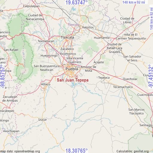
San Juan Tepepa GPS coordinates[2]
18° 58' 26.004" North, 98° 9' 15.984" West
| Map corner | latitude | longitude |
|---|---|---|
| Upper-left | 19.63747°, | -98.85757° |
| Center: | 18.97389°, | -98.15444° |
| Lower-right: | 18.30765°, | -97.45132° |
| Map W x H: | 147.9×147.9 km | = 91.9×91.9mi |
| max Lat: | 32.7° ⇑65.2% North |
| San Juan Tepepa: | 18.97389° |
| min Lat: | ⇓34.8% South 14.53588° |
| min Long | San Juan Tepepa | max Long |
| -117.105° | -98.15444° | -86.73105° |
| W 61.9%⇐ | ⇒38.1% E |
Elevation
Elevation of San Juan Tepepa is 2191 m = 7188 ft, and this is 937.3 m = 3075 ft above average elevation for this country.
| Max E: |
3497 m = 11473 ft | 17.9% |
| San Juan Tepepa | 2191 m 7188 ft | |
| Avg. | 1253.7 m = 4113 ft | |
Min E: |
-1 m = -3 ft | 82.1% |
See also: Mexico elevation on elevation.city.
Geographical zone
San Juan Tepepa is located in North Torrid zone (between Equator and Tropic of Cancer). Distance of this Northern Tropic circle is 496.2 km =308.3 mi to North.| Distance of | km | miles | from San Juan Tepepa |
|---|---|---|---|
| North Pole | 7897.4 | 4907.2 | to North |
| Arctic Circle | 5291.5 | 3288 | to North |
| Tropic Cancer | 496.2 | 308.3 | to North |
| Equator | 2109.7 | 1310.9 | to South |


Nearby cities:
15 places around San Juan Tepepa: (largest is in red/bold)
• 18 de Marzo
0.8 km =0.5 mi,  227°
227°
• Artículo Primero Constitucional
0.4 km =0.2 mi,  273°
273°
• Buenavista Tetela
6.5 km =4 mi,  200°
200°
• Casa Blanca
8.5 km =5.3 mi,  26°
26°
• Galaxia la Calera
2.8 km =1.7 mi,  4°
4°
• Guadalupe
1.8 km =1.1 mi,  182°
182°
• Los Ángeles Tetela
9.4 km =5.8 mi,  188°
188°
• Puebla
8.8 km =5.5 mi,  324°
324°
• Resurgimiento Atotonilco
5.9 km =3.7 mi,  245°
245°
• San Antonio Arenillas
3.6 km =2.2 mi,  221°
221°
• San José Texaluca
8.8 km =5.5 mi,  164°
164°
• San Pedro Zacachimalpa
3.5 km =2.2 mi, 182°
• Santa Cruz Alpuyeca
7.8 km =4.8 mi,  83°
83°
• Santa María Guadalupe Tecola
8.7 km =5.4 mi,  210°
210°
• Santo Tomás Chautla
0.9 km =0.6 mi,  169°
169°
Sources, notices
• [Note1] Compared only with cities in Mexico existing in our database
• [Src1] Map data: © OpenStreetMap contributors (CC-BY-SA)
• [Src2] Other city data from geonames.org with taken over terms of usage.
• [Src3] Geographical zone / Annual Mean Temperature by Robert A. Rohde @ Wikipedia
