El Fraile geodata
El Fraile (Zacatecas) is a populated place; located in Mexico in America/Mexico_City (GMT-6) time zone. With population of 550 people, there are 15494 cities with bigger population in this country. Compared to other cities in Mexico, 85.7% of cities are located further ↓South; 79.3% of cities are located further →East and 80.9% of cities have lower elevation than El Fraile. Note1


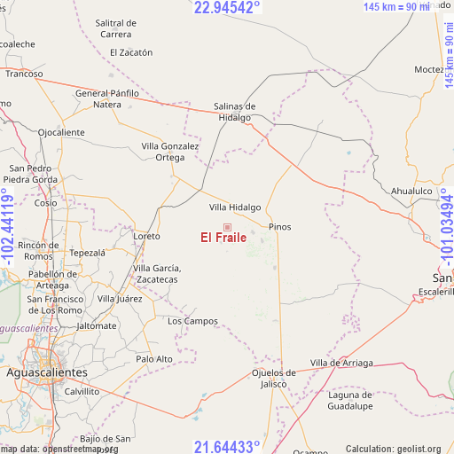
El Fraile GPS coordinates[2]
22° 17' 47.004" North, 101° 44' 17.016" West
| Map corner | latitude | longitude |
|---|---|---|
| Upper-left | 22.94542°, | -102.44119° |
| Center: | 22.29639°, | -101.73806° |
| Lower-right: | 21.64433°, | -101.03494° |
| Map W x H: | 144.7×144.7 km | = 89.9×89.9mi |
| max Lat: | 32.7° ⇑14.3% North |
| El Fraile: | 22.29639° |
| min Lat: | ⇓85.7% South 14.53588° |
| min Long | El Fraile | max Long |
| -117.105° | -101.73806° | -86.73105° |
| W 20.7%⇐ | ⇒79.3% E |
Elevation
Elevation of El Fraile is 2162 m = 7093 ft, and this is 908.3 m = 2980 ft above average elevation for this country.
| Max E: |
3497 m = 11473 ft | 19.1% |
| El Fraile | 2162 m 7093 ft | |
| Avg. | 1253.7 m = 4113 ft | |
Min E: |
-1 m = -3 ft | 80.9% |
See also: Mexico elevation on elevation.city.
Geographical zone
El Fraile is located in North Torrid zone (between Equator and Tropic of Cancer). Distance of this Northern Tropic circle is 126.8 km =78.8 mi to North.| Distance of | km | miles | from El Fraile |
|---|---|---|---|
| North Pole | 7527.9 | 4677.6 | to North |
| Arctic Circle | 4922 | 3058.4 | to North |
| Tropic Cancer | 126.8 | 78.8 | to North |
| Equator | 2479.1 | 1540.4 | to South |


Nearby cities:
15 places around El Fraile: (largest is in red/bold)
• Canoas
9.9 km =6.2 mi,  347°
347°
• Colonia José María Morelos
9.8 km =6.1 mi,  323°
323°
• Colonia San Francisco (San Francisco)
8.5 km =5.3 mi,  275°
275°
• El Chino
8.5 km =5.3 mi,  72°
72°
• El Refugio
8.5 km =5.3 mi,  344°
344°
• El Tepetate
11.3 km =7 mi,  18°
18°
• Estancia de Guadalupe
8.5 km =5.3 mi,  101°
101°
• Ignacio Zaragoza
10.1 km =6.3 mi,  297°
297°
• La Arquería
9.1 km =5.7 mi,  254°
254°
• La Lobeña
3.8 km =2.4 mi, 97°
• La Pachona
7.6 km =4.7 mi,  180°
180°
• Pedregoso
5.3 km =3.3 mi,  202°
202°
• Presa de Valenzuela
8.9 km =5.5 mi,  49°
49°
• Rancho Nuevo de Morelos (De Guadalupe)
6.9 km =4.3 mi, 315°
• Villa Hidalgo
7.2 km =4.5 mi, 21°
Sources, notices
• [Note1] Compared only with cities in Mexico existing in our database
• [Src1] Map data: © OpenStreetMap contributors (CC-BY-SA)
• [Src2] Other city data from geonames.org with taken over terms of usage.
• [Src3] Geographical zone / Annual Mean Temperature by Robert A. Rohde @ Wikipedia
