Tamalayo geodata
Tamalayo (Puebla) is a populated place; located in Mexico in America/Mexico_City (GMT-6) time zone. With population of 510 people, there are 16480 cities with bigger population in this country. Compared to other cities in Mexico, 55.7% of cities are located further ↓South; 69.7% of cities are located further ←West and 53.7% of cities have higher elevation than Tamalayo. Note1


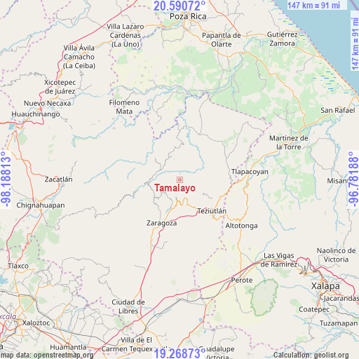
Tamalayo GPS coordinates[2]
19° 55' 51.996" North, 97° 29' 6" West
| Map corner | latitude | longitude |
|---|---|---|
| Upper-left | 20.59072°, | -98.18813° |
| Center: | 19.93111°, | -97.485° |
| Lower-right: | 19.26873°, | -96.78188° |
| Map W x H: | 147×147 km | = 91.3×91.3mi |
| max Lat: | 32.7° ⇑44.3% North |
| Tamalayo: | 19.93111° |
| min Lat: | ⇓55.7% South 14.53588° |
| min Long | Tamalayo | max Long |
| -117.105° | -97.485° | -86.73105° |
| W 69.7%⇐ | ⇒30.3% E |
Elevation
Elevation of Tamalayo is 1261 m = 4137 ft, and this is 7.3 m = 24 ft above average elevation for this country.
| Max E: |
3497 m = 11473 ft | 53.7% |
| Tamalayo | 1261 m 4137 ft | |
| Avg. | 1253.7 m = 4113 ft | |
Min E: |
-1 m = -3 ft | 46.3% |
See also: Mexico elevation on elevation.city.
Geographical zone
Tamalayo is located in North Torrid zone (between Equator and Tropic of Cancer). Distance of this Northern Tropic circle is 389.8 km =242.2 mi to North.| Distance of | km | miles | from Tamalayo |
|---|---|---|---|
| North Pole | 7790.9 | 4841 | to North |
| Arctic Circle | 5185 | 3221.8 | to North |
| Tropic Cancer | 389.8 | 242.2 | to North |
| Equator | 2216.1 | 1377 | to South |


Nearby cities:
15 places around Tamalayo: (largest is in red/bold)
• Acocogta
6.5 km =4 mi,  171°
171°
• Ahuacatlán
8.3 km =5.2 mi,  229°
229°
• Ahuatepec
8.7 km =5.4 mi,  139°
139°
• Atalpa
8.8 km =5.5 mi,  192°
192°
• Buena Vista
3.3 km =2.1 mi,  163°
163°
• Ciudad de Tlatlauquitepec
8.8 km =5.5 mi, 187°
• El Progreso
7.2 km =4.5 mi,  238°
238°
• Hueyapán
6.8 km =4.2 mi, 142°
• La Unión
2.4 km =1.5 mi,  152°
152°
• Nexpan
8.3 km =5.2 mi,  129°
129°
• San Juan Tahitic
6.9 km =4.3 mi,  274°
274°
• Tanamacoyan
7.3 km =4.5 mi, 127°
• Teteles de Avila Castillo
8.7 km =5.4 mi, 160°
• Xochitepec
7.9 km =4.9 mi,  261°
261°
• Yaonahuac
7 km =4.3 mi, 163°
Sources, notices
• [Note1] Compared only with cities in Mexico existing in our database
• [Src1] Map data: © OpenStreetMap contributors (CC-BY-SA)
• [Src2] Other city data from geonames.org with taken over terms of usage.
• [Src3] Geographical zone / Annual Mean Temperature by Robert A. Rohde @ Wikipedia
