Diffa geodata
Diffa is a seat of a first-order administrative division; located in Niger in Africa/Niamey (GMT+1) time zone. With population of 27,948 people, there are 11 cities with bigger population in this country. Compared to other cities in Niger, 81.4% of cities are located further ↑North; 95.3% of cities are located further ←West and 62.8% of cities have higher elevation than Diffa. Note1


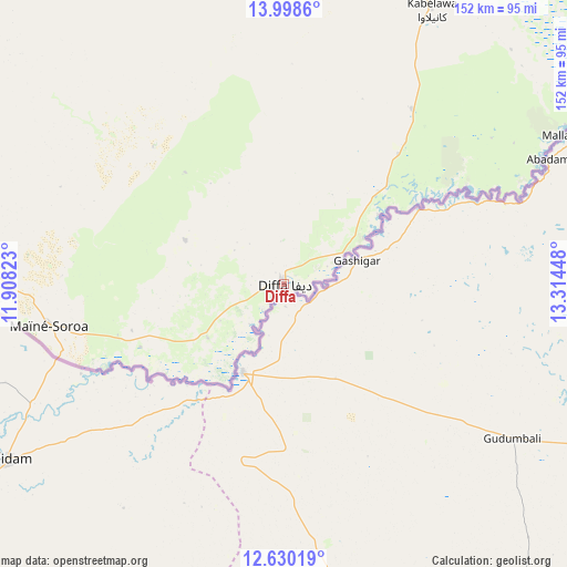
Diffa GPS coordinates[2]
13° 18' 55.296" North, 12° 36' 40.86" East
| Map corner | latitude | longitude |
|---|---|---|
| Upper-left | 13.9986°, | 11.90823° |
| Center: | 13.31536°, | 12.61135° |
| Lower-right: | 12.63019°, | 13.31448° |
| Map W x H: | 152.2×152.2 km | = 94.6×94.6mi |
| max Lat: | 18.73694° ⇑81.4% North |
| Diffa: | 13.31536° |
| min Lat: | ⇓18.6% South 11.88435° |
| min Long | Diffa | max Long |
| 0.75306° | 12.61135° | 13.10921° |
| W 95.3%⇐ | ⇒4.7% E |
Elevation
Elevation of Diffa is 311 m = 1020 ft, and this is 31.8 m = 104 ft below average elevation for this country.
| Max E: |
525 m = 1722 ft | 62.8% |
| Avg. | 342.8 m = 1125 ft | |
| Diffa | 311 m = 1020 ft | |
Min E: |
177 m = 581 ft | 37.2% |
See also: Niger elevation on elevation.city.
Geographical zone
Diffa is located in North Torrid zone (between Equator and Tropic of Cancer). Distance of this Northern Tropic circle is 1125.4 km =699.3 mi to North.| Distance of | km | miles | from Diffa |
|---|---|---|---|
| North Pole | 8526.5 | 5298.1 | to North |
| Arctic Circle | 5920.6 | 3678.9 | to North |
| Tropic Cancer | 1125.4 | 699.3 | to North |
| Equator | 1480.5 | 919.9 | to South |


Nearby cities:
6 places around Diffa: (largest is in red/bold)
• Gouré
263.6 km =163.8 mi,  286°
286°
• Magaria
402.3 km =250 mi,  264°
264°
• Maïné Soroa
64.6 km =40.1 mi, 259°
• Mirriah
376.7 km =234.1 mi,  276°
276°
• Nguigmi
117 km =72.7 mi,  27°
27°
• Zinder
395.4 km =245.7 mi, 277°
Sources, notices
• [Note1] Compared only with cities in Niger existing in our database
• [Src1] Map data: © OpenStreetMap contributors (CC-BY-SA)
• [Src2] Other city data from geonames.org with taken over terms of usage.
• [Src3] Geographical zone / Annual Mean Temperature by Robert A. Rohde @ Wikipedia
