Zinder geodata
Zinder is a seat of a first-order administrative division; located in Niger in Africa/Niamey (GMT+1) time zone. With population of 191,424 people, there is 1 city with bigger population in this country. Compared to other cities in Niger, 51.2% of cities are located further ↑North; 86% of cities are located further ←West and 90.7% of cities have lower elevation than Zinder. Note1


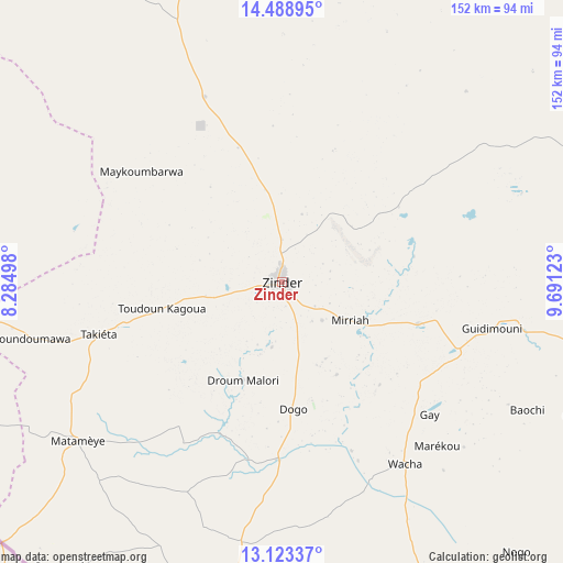
Zinder GPS coordinates[2]
13° 48' 25.776" North, 8° 59' 17.16" East
| Map corner | latitude | longitude |
|---|---|---|
| Upper-left | 14.48895°, | 8.28498° |
| Center: | 13.80716°, | 8.9881° |
| Lower-right: | 13.12337°, | 9.69123° |
| Map W x H: | 151.8×151.8 km | = 94.3×94.3mi |
| max Lat: | 18.73694° ⇑51.2% North |
| Zinder: | 13.80716° |
| min Lat: | ⇓48.8% South 11.88435° |
| min Long | Zinder | max Long |
| 0.75306° | 8.9881° | 13.10921° |
| W 86%⇐ | ⇒14% E |
Elevation
Elevation of Zinder is 460 m = 1509 ft, and this is 117.2 m = 385 ft above average elevation for this country.
| Max E: |
525 m = 1722 ft | 9.3% |
| Zinder | 460 m 1509 ft | |
| Avg. | 342.8 m = 1125 ft | |
Min E: |
177 m = 581 ft | 90.7% |
See also: Zinder elevation on elevation.city.
Geographical zone
Zinder is located in North Torrid zone (between Equator and Tropic of Cancer). Distance of this Northern Tropic circle is 1070.7 km =665.3 mi to North.| Distance of | km | miles | from Zinder |
|---|---|---|---|
| North Pole | 8471.8 | 5264.1 | to North |
| Arctic Circle | 5866 | 3645 | to North |
| Tropic Cancer | 1070.7 | 665.3 | to North |
| Equator | 1535.2 | 953.9 | to South |


Nearby cities:
15 places around Zinder: (largest is in red/bold)
• Aguié
134.9 km =83.8 mi,  255°
255°
• Bouza
324.9 km =201.9 mi,  282°
282°
• Dakoro
252.1 km =156.6 mi,  288°
288°
• Gouré
139.8 km =86.9 mi,  81°
81°
• Guidan Roumdji
248.2 km =154.2 mi,  266°
266°
• Kantché
64.1 km =39.8 mi,  242°
242°
• Madarounfa
205.6 km =127.8 mi,  254°
254°
• Magaria
90.3 km =56.1 mi,  185°
185°
• Maradi
206.7 km =128.4 mi, 260°
• Matamey
70 km =43.5 mi,  232°
232°
• Mayahi
143.1 km =88.9 mi, 276°
• Mirriah
20.7 km =12.9 mi,  122°
122°
• Tanout
129.8 km =80.7 mi,  355°
355°
• Tessaoua
108.2 km =67.2 mi, 267°
• Tibiri
211.3 km =131.3 mi, 262°
Sources, notices
• [Note1] Compared only with cities in Niger existing in our database
• [Src1] Map data: © OpenStreetMap contributors (CC-BY-SA)
• [Src2] Other city data from geonames.org with taken over terms of usage.
• [Src3] Geographical zone / Annual Mean Temperature by Robert A. Rohde @ Wikipedia
