Zierikzee geodata
Zierikzee (Zeeland) is a populated place; located in Netherlands in Europe/Amsterdam (GMT+2) time zone. With population of 10,483 people, there are 279 cities with bigger population in this country. Compared to other cities in Netherlands, 71.5% of cities are located further ↑North; 97% of cities are located further →East and 52.4% of cities have lower elevation than Zierikzee. Note1


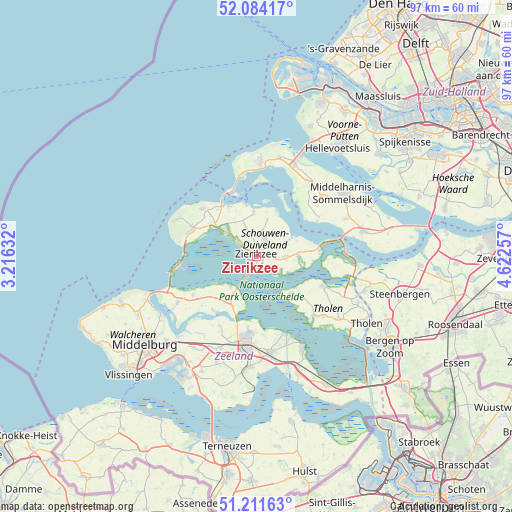
Zierikzee GPS coordinates[2]
51° 39' 0" North, 3° 55' 9.984" East
| Map corner | latitude | longitude |
|---|---|---|
| Upper-left | 52.08417°, | 3.21632° |
| Center: | 51.65°, | 3.91944° |
| Lower-right: | 51.21163°, | 4.62257° |
| Map W x H: | 97×97 km | = 60.3×60.3mi |
| max Lat: | 53.48025° ⇑71.5% North |
| Zierikzee: | 51.65° |
| min Lat: | ⇓28.5% South 50.76917° |
| min Long | Zierikzee | max Long |
| 3.38611° | 3.91944° | 7.16528° |
| W 3%⇐ | ⇒97% E |
Elevation
Elevation of Zierikzee is 7 m = 23 ft, and this is 8 m = 26 ft below average elevation for this country.
| Max E: |
203 m = 666 ft | 47.6% |
| Avg. | 15 m = 49 ft | |
| Zierikzee | 7 m = 23 ft | |
Min E: |
-6 m = -20 ft | 52.4% |
See also: Netherlands elevation on elevation.city.
Geographical zone
Zierikzee is located in North temperate zone (between Tropic of Cancer and the Arctic Circle). Distance of this North polar circle is 1658.2 km =1030.4 mi to North.| Distance of | km | miles | from Zierikzee |
|---|---|---|---|
| North Pole | 4264.1 | 2649.6 | to North |
| Arctic Circle | 1658.2 | 1030.4 | to North |
| Tropic Cancer | 3137 | 1949.2 | to South |
| Equator | 5742.9 | 3568.5 | to South |


Nearby cities:
15 places around Zierikzee: (largest is in red/bold)
• Brouwershaven
8.5 km =5.3 mi,  356°
356°
• Bruinisse
12.1 km =7.5 mi,  83°
83°
• Burgh
13.6 km =8.5 mi,  288°
288°
• Colijnsplaat
7.5 km =4.7 mi,  220°
220°
• Dreischor
6.3 km =3.9 mi,  44°
44°
• Haamstede
13.2 km =8.2 mi, 293°
• Kerkwerve
4.3 km =2.7 mi,  340°
340°
• Malta
1 km =0.6 mi,  90°
90°
• Nieuwerkerk
5.7 km =3.5 mi, 89°
• Oosterland
8 km =5 mi, 90°
• Renesse
13.5 km =8.4 mi,  312°
312°
• Scharendijke
10.9 km =6.8 mi,  331°
331°
• Stavenisse
9.5 km =5.9 mi,  137°
137°
• Wilhelminadorp
13.5 km =8.4 mi,  186°
186°
• Zonnemaire
7.4 km =4.6 mi,  17°
17°
Sources, notices
• [Note1] Compared only with cities in Netherlands existing in our database
• [Src1] Map data: © OpenStreetMap contributors (CC-BY-SA)
• [Src2] Other city data from geonames.org with taken over terms of usage.
• [Src3] Geographical zone / Annual Mean Temperature by Robert A. Rohde @ Wikipedia
