Wolphaartsdijk geodata
Wolphaartsdijk (Zeeland) is a populated place; located in Netherlands in Europe/Amsterdam (GMT+2) time zone. With population of 1,595 people, there are 1084 cities with bigger population in this country. Compared to other cities in Netherlands, 78.3% of cities are located further ↑North; 97.8% of cities are located further →East and 74.9% of cities have higher elevation than Wolphaartsdijk. Note1


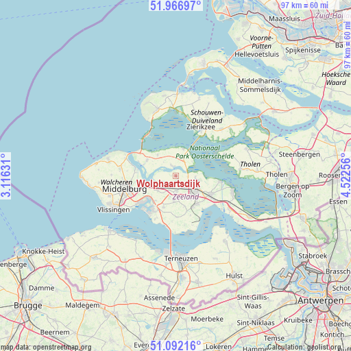
Wolphaartsdijk GPS coordinates[2]
51° 31' 54.012" North, 3° 49' 9.984" East
| Map corner | latitude | longitude |
|---|---|---|
| Upper-left | 51.96697°, | 3.11631° |
| Center: | 51.53167°, | 3.81944° |
| Lower-right: | 51.09216°, | 4.52256° |
| Map W x H: | 97.3×97.3 km | = 60.5×60.5mi |
| max Lat: | 53.48025° ⇑78.3% North |
| Wolphaartsdijk: | 51.53167° |
| min Lat: | ⇓21.7% South 50.76917° |
| min Long | Wolphaartsdijk | max Long |
| 3.38611° | 3.81944° | 7.16528° |
| W 2.2%⇐ | ⇒97.8% E |
Elevation
Elevation of Wolphaartsdijk is 2 m = 7 ft, and this is 13 m = 43 ft below average elevation for this country.
| Max E: |
203 m = 666 ft | 74.9% |
| Avg. | 15 m = 49 ft | |
| Wolphaartsdijk | 2 m = 7 ft | |
Min E: |
-6 m = -20 ft | 25.1% |
See also: Netherlands elevation on elevation.city.
Geographical zone
Wolphaartsdijk is located in North temperate zone (between Tropic of Cancer and the Arctic Circle). Distance of this North polar circle is 1671.4 km =1038.6 mi to North.| Distance of | km | miles | from Wolphaartsdijk |
|---|---|---|---|
| North Pole | 4277.3 | 2657.8 | to North |
| Arctic Circle | 1671.4 | 1038.6 | to North |
| Tropic Cancer | 3123.9 | 1941.1 | to South |
| Equator | 5729.8 | 3560.3 | to South |


Nearby cities:
15 places around Wolphaartsdijk: (largest is in red/bold)
• Arnemuiden
10.5 km =6.5 mi,  251°
251°
• Borssele
13.4 km =8.3 mi,  205°
205°
• Colijnsplaat
7.8 km =4.8 mi,  15°
15°
• Dauwendaele
14 km =8.7 mi, 252°
• Driewegen
12.7 km =7.9 mi,  185°
185°
• Goes
5.7 km =3.5 mi,  122°
122°
• Kamperland
9.1 km =5.7 mi,  299°
299°
• Kapelle
10.8 km =6.7 mi, 117°
• Klarenbeek
14.6 km =9.1 mi,  260°
260°
• Kloetinge
7.6 km =4.7 mi, 119°
• Nieuw- en Sint Joosland
12.5 km =7.8 mi,  244°
244°
• Wemeldinge
12.4 km =7.7 mi,  96°
96°
• Wilhelminadorp
5.4 km =3.4 mi,  92°
92°
• Wissenkerke
7.8 km =4.8 mi,  319°
319°
• Zanddijk
11.2 km =7 mi,  274°
274°
Sources, notices
• [Note1] Compared only with cities in Netherlands existing in our database
• [Src1] Map data: © OpenStreetMap contributors (CC-BY-SA)
• [Src2] Other city data from geonames.org with taken over terms of usage.
• [Src3] Geographical zone / Annual Mean Temperature by Robert A. Rohde @ Wikipedia
