Waarde geodata
Waarde (Zeeland) is a populated place; located in Netherlands in Europe/Amsterdam (GMT+2) time zone. With population of 1,080 people, there are 1345 cities with bigger population in this country. Compared to other cities in Netherlands, 85.5% of cities are located further ↑North; 96.1% of cities are located further →East and 83.9% of cities have higher elevation than Waarde. Note1


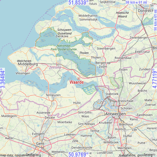
Waarde GPS coordinates[2]
51° 25' 3" North, 4° 4' 5.016" East
| Map corner | latitude | longitude |
|---|---|---|
| Upper-left | 51.8539°, | 3.36494° |
| Center: | 51.4175°, | 4.06806° |
| Lower-right: | 50.9769°, | 4.77119° |
| Map W x H: | 97.5×97.5 km | = 60.6×60.6mi |
| max Lat: | 53.48025° ⇑85.5% North |
| Waarde: | 51.4175° |
| min Lat: | ⇓14.5% South 50.76917° |
| min Long | Waarde | max Long |
| 3.38611° | 4.06806° | 7.16528° |
| W 3.9%⇐ | ⇒96.1% E |
Elevation
Elevation of Waarde is 1 m = 3 ft, and this is 14 m = 46 ft below average elevation for this country.
| Max E: |
203 m = 666 ft | 83.9% |
| Avg. | 15 m = 49 ft | |
| Waarde | 1 m = 3 ft | |
Min E: |
-6 m = -20 ft | 16.1% |
See also: Netherlands elevation on elevation.city.
Geographical zone
Waarde is located in North temperate zone (between Tropic of Cancer and the Arctic Circle). Distance of this North polar circle is 1684.1 km =1046.5 mi to North.| Distance of | km | miles | from Waarde |
|---|---|---|---|
| North Pole | 4290 | 2665.7 | to North |
| Arctic Circle | 1684.1 | 1046.5 | to North |
| Tropic Cancer | 3111.2 | 1933.2 | to South |
| Equator | 5717.1 | 3552.4 | to South |


Nearby cities:
15 places around Waarde: (largest is in red/bold)
• Bergen op Zoom
17.7 km =11 mi,  60°
60°
• Goes
15.7 km =9.8 mi,  307°
307°
• Hulst
15.3 km =9.5 mi,  183°
183°
• Kapelle
10.8 km =6.7 mi,  315°
315°
• Kloetinge
13.9 km =8.6 mi, 310°
• Oostdijk
3 km =1.9 mi,  12°
12°
• Othene
17.4 km =10.8 mi,  236°
236°
• Poortvliet
15 km =9.3 mi,  20°
20°
• Scherpenisse
14.6 km =9.1 mi, 10°
• Tholen
16.5 km =10.3 mi,  39°
39°
• Wemeldinge
12.2 km =7.6 mi,  336°
336°
• Wilhelminadorp
17.2 km =10.7 mi, 316°
• Woensdrecht
16.4 km =10.2 mi,  85°
85°
• Yerseke
8.4 km =5.2 mi,  351°
351°
• Zaamslag
15.9 km =9.9 mi,  222°
222°
Sources, notices
• [Note1] Compared only with cities in Netherlands existing in our database
• [Src1] Map data: © OpenStreetMap contributors (CC-BY-SA)
• [Src2] Other city data from geonames.org with taken over terms of usage.
• [Src3] Geographical zone / Annual Mean Temperature by Robert A. Rohde @ Wikipedia
