Volendam geodata
Volendam (North Holland) is a populated place; located in Netherlands in Europe/Amsterdam (GMT+2) time zone. With population of 22,000 people, there are 157 cities with bigger population in this country. Compared to other cities in Netherlands, 71.3% of cities are located further ↓South; 71.4% of cities are located further →East and 91.3% of cities have higher elevation than Volendam. Note1


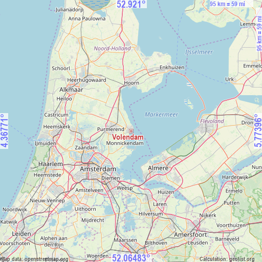
Volendam GPS coordinates[2]
52° 29' 42" North, 5° 4' 14.988" East
| Map corner | latitude | longitude |
|---|---|---|
| Upper-left | 52.921°, | 4.36771° |
| Center: | 52.495°, | 5.07083° |
| Lower-right: | 52.06483°, | 5.77396° |
| Map W x H: | 95.2×95.2 km | = 59.2×59.2mi |
| max Lat: | 53.48025° ⇑28.7% North |
| Volendam: | 52.495° |
| min Lat: | ⇓71.3% South 50.76917° |
| min Long | Volendam | max Long |
| 3.38611° | 5.07083° | 7.16528° |
| W 28.6%⇐ | ⇒71.4% E |
Elevation
Elevation of Volendam is 0 m = 0 ft, and this is 15 m = 49 ft below average elevation for this country.
| Max E: |
203 m = 666 ft | 91.3% |
| Avg. | 15 m = 49 ft | |
| Volendam | 0 m = 0 ft | |
Min E: |
-6 m = -20 ft | 8.7% |
See also: Netherlands elevation on elevation.city.
Geographical zone
Volendam is located in North temperate zone (between Tropic of Cancer and the Arctic Circle). Distance of this North polar circle is 1564.3 km =972 mi to North.| Distance of | km | miles | from Volendam |
|---|---|---|---|
| North Pole | 4170.2 | 2591.2 | to North |
| Arctic Circle | 1564.3 | 972 | to North |
| Tropic Cancer | 3231 | 2007.6 | to South |
| Equator | 5836.9 | 3626.9 | to South |


Nearby cities:
15 places around Volendam: (largest is in red/bold)
• Beets
12.1 km =7.5 mi,  328°
328°
• Broek in Waterland
8.5 km =5.3 mi,  216°
216°
• Den Ilp
12 km =7.5 mi,  247°
247°
• Edam
2.5 km =1.6 mi,  321°
321°
• Halfweg
10.2 km =6.3 mi,  288°
288°
• Ilpendam
8.9 km =5.5 mi, 246°
• Kwadijk
7.1 km =4.4 mi,  301°
301°
• Landsmeer
12.7 km =7.9 mi,  235°
235°
• Marken
4.6 km =2.9 mi,  152°
152°
• Middelie
5.5 km =3.4 mi, 319°
• Middenbeemster
12.3 km =7.6 mi, 299°
• Monnickendam
4.7 km =2.9 mi,  208°
208°
• Oosthuizen
10 km =6.2 mi, 329°
• Purmerend
7.6 km =4.7 mi,  278°
278°
• Warder
8.3 km =5.2 mi,  338°
338°
Sources, notices
• [Note1] Compared only with cities in Netherlands existing in our database
• [Src1] Map data: © OpenStreetMap contributors (CC-BY-SA)
• [Src2] Other city data from geonames.org with taken over terms of usage.
• [Src3] Geographical zone / Annual Mean Temperature by Robert A. Rohde @ Wikipedia
