Maasland geodata
Maasland (South Holland) is a populated place; located in Netherlands in Europe/Amsterdam (GMT+2) time zone. With population of 4,545 people, there are 530 cities with bigger population in this country. Compared to other cities in Netherlands, 55.1% of cities are located further ↑North; 94.2% of cities are located further →East and 96.1% of cities have higher elevation than Maasland. Note1


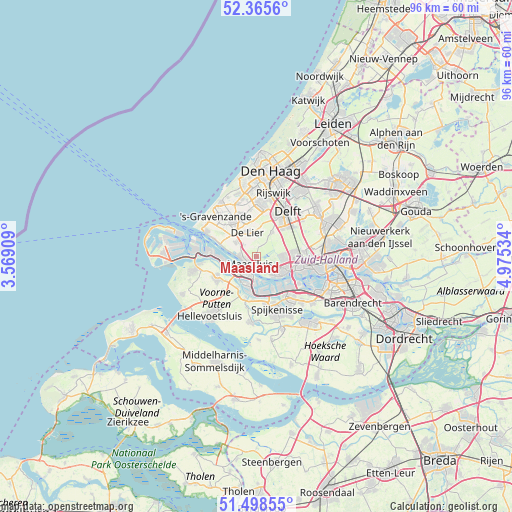
Maasland GPS coordinates[2]
51° 56' 3.012" North, 4° 16' 19.992" East
| Map corner | latitude | longitude |
|---|---|---|
| Upper-left | 52.3656°, | 3.56909° |
| Center: | 51.93417°, | 4.27222° |
| Lower-right: | 51.49855°, | 4.97534° |
| Map W x H: | 96.4×96.4 km | = 59.9×59.9mi |
| max Lat: | 53.48025° ⇑55.1% North |
| Maasland: | 51.93417° |
| min Lat: | ⇓44.9% South 50.76917° |
| min Long | Maasland | max Long |
| 3.38611° | 4.27222° | 7.16528° |
| W 5.8%⇐ | ⇒94.2% E |
Elevation
Elevation of Maasland is -1 m = -3 ft, and this is 16 m = 52 ft below average elevation for this country.
| Max E: |
203 m = 666 ft | 96.1% |
| Avg. | 15 m = 49 ft | |
| Maasland | -1 m = -3 ft | |
Min E: |
-6 m = -20 ft | 3.9% |
See also: Netherlands elevation on elevation.city.
Geographical zone
Maasland is located in North temperate zone (between Tropic of Cancer and the Arctic Circle). Distance of this North polar circle is 1626.6 km =1010.7 mi to North.| Distance of | km | miles | from Maasland |
|---|---|---|---|
| North Pole | 4232.5 | 2630 | to North |
| Arctic Circle | 1626.6 | 1010.7 | to North |
| Tropic Cancer | 3168.6 | 1968.9 | to South |
| Equator | 5774.5 | 3588.1 | to South |


Nearby cities:
15 places around Maasland: (largest is in red/bold)
• Brielle
8.3 km =5.2 mi,  244°
244°
• De Lier
4.8 km =3 mi,  340°
340°
• Heenweg
8.2 km =5.1 mi,  310°
310°
• Honselersdijk
8.7 km =5.4 mi, 337°
• Kwintsheul
8.9 km =5.5 mi,  352°
352°
• Maasdijk
4.9 km =3 mi,  304°
304°
• Maassluis
1.9 km =1.2 mi,  231°
231°
• Naaldwijk
7.9 km =4.9 mi,  327°
327°
• Rozenburg
3.7 km =2.3 mi,  205°
205°
• Schiedam
8.2 km =5.1 mi,  101°
101°
• Schipluiden
5.4 km =3.4 mi,  31°
31°
• Tuindorp
7.3 km =4.5 mi,  93°
93°
• Vierpolders
8.8 km =5.5 mi, 226°
• Vlaardingen
5.3 km =3.3 mi,  116°
116°
• Zwartewaal
6.7 km =4.2 mi, 211°
Sources, notices
• [Note1] Compared only with cities in Netherlands existing in our database
• [Src1] Map data: © OpenStreetMap contributors (CC-BY-SA)
• [Src2] Other city data from geonames.org with taken over terms of usage.
• [Src3] Geographical zone / Annual Mean Temperature by Robert A. Rohde @ Wikipedia
