Palenstein geodata
Palenstein (South Holland) is a section of populated place; located in Netherlands in Europe/Amsterdam (GMT+2) time zone. With population of 6,000 people, there are 410 cities with bigger population in this country. Compared to other cities in Netherlands, 52.2% of cities are located further ↓South; 88.8% of cities are located further →East and 98.2% of cities have higher elevation than Palenstein. Note1


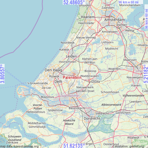
Palenstein GPS coordinates[2]
52° 3' 20.844" North, 4° 30' 31.284" East
| Map corner | latitude | longitude |
|---|---|---|
| Upper-left | 52.48605°, | 3.80557° |
| Center: | 52.05579°, | 4.50869° |
| Lower-right: | 51.62135°, | 5.21182° |
| Map W x H: | 96.1×96.1 km | = 59.7×59.7mi |
| max Lat: | 53.48025° ⇑47.8% North |
| Palenstein: | 52.05579° |
| min Lat: | ⇓52.2% South 50.76917° |
| min Long | Palenstein | max Long |
| 3.38611° | 4.50869° | 7.16528° |
| W 11.2%⇐ | ⇒88.8% E |
Elevation
Elevation of Palenstein is -2 m = -7 ft, and this is 17 m = 56 ft below average elevation for this country.
| Max E: |
203 m = 666 ft | 98.2% |
| Avg. | 15 m = 49 ft | |
| Palenstein | -2 m = -7 ft | |
Min E: |
-6 m = -20 ft | 1.8% |
See also: Netherlands elevation on elevation.city.
Geographical zone
Palenstein is located in North temperate zone (between Tropic of Cancer and the Arctic Circle). Distance of this North polar circle is 1613.1 km =1002.3 mi to North.| Distance of | km | miles | from Palenstein |
|---|---|---|---|
| North Pole | 4219 | 2621.6 | to North |
| Arctic Circle | 1613.1 | 1002.3 | to North |
| Tropic Cancer | 3182.1 | 1977.3 | to South |
| Equator | 5788.1 | 3596.6 | to South |


Nearby cities:
15 places around Palenstein: (largest is in red/bold)
• Benthuizen
3.4 km =2.1 mi,  45°
45°
• Bergschenhoek
7.3 km =4.5 mi,  185°
185°
• Berkel en Rodenrijs
7.3 km =4.5 mi,  196°
196°
• Bleiswijk
5.2 km =3.2 mi,  162°
162°
• Driemanspolder
1.7 km =1.1 mi,  254°
254°
• Groenswaard
9.4 km =5.8 mi,  92°
92°
• Noordeinde
4.7 km =2.9 mi, 201°
• Pijnacker
6.8 km =4.2 mi,  233°
233°
• Vlietwijk
8.4 km =5.2 mi,  335°
335°
• Voorschoten
9 km =5.6 mi,  332°
332°
• Voorweg
8.5 km =5.3 mi,  64°
64°
• Ypenburg
9.6 km =6 mi,  260°
260°
• Zoetermeer
1.1 km =0.7 mi,  280°
280°
• Zoeterwoude-Dorp
7.2 km =4.5 mi,  352°
352°
• Zuidbuurt
5.9 km =3.7 mi,  356°
356°
Sources, notices
• [Note1] Compared only with cities in Netherlands existing in our database
• [Src1] Map data: © OpenStreetMap contributors (CC-BY-SA)
• [Src2] Other city data from geonames.org with taken over terms of usage.
• [Src3] Geographical zone / Annual Mean Temperature by Robert A. Rohde @ Wikipedia
