Hopel geodata
Hopel (Limburg) is a populated place; located in Netherlands in Europe/Amsterdam (GMT+2) time zone. With population of 2,240 people, there are 903 cities with bigger population in this country. Compared to other cities in Netherlands, 96.5% of cities are located further ↑North; 76.3% of cities are located further ←West and 97.9% of cities have lower elevation than Hopel. Note1


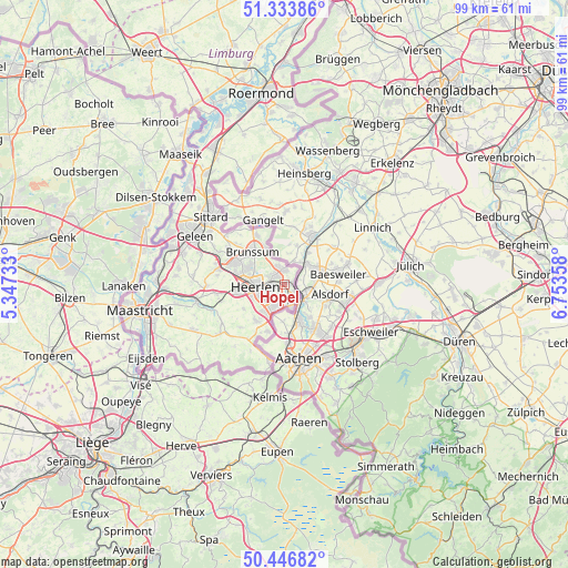
Hopel GPS coordinates[2]
50° 53' 32.82" North, 6° 3' 1.656" East
| Map corner | latitude | longitude |
|---|---|---|
| Upper-left | 51.33386°, | 5.34733° |
| Center: | 50.89245°, | 6.05046° |
| Lower-right: | 50.44682°, | 6.75358° |
| Map W x H: | 98.6×98.6 km | = 61.3×61.3mi |
| max Lat: | 53.48025° ⇑96.5% North |
| Hopel: | 50.89245° |
| min Lat: | ⇓3.5% South 50.76917° |
| min Long | Hopel | max Long |
| 3.38611° | 6.05046° | 7.16528° |
| W 76.3%⇐ | ⇒23.7% E |
Elevation
Elevation of Hopel is 114 m = 374 ft, and this is 99 m = 325 ft above average elevation for this country.
| Max E: |
203 m = 666 ft | 2.1% |
| Hopel | 114 m 374 ft | |
| Avg. | 15 m = 49 ft | |
Min E: |
-6 m = -20 ft | 97.9% |
See also: Netherlands elevation on elevation.city.
Geographical zone
Hopel is located in North temperate zone (between Tropic of Cancer and the Arctic Circle). Distance of this North polar circle is 1742.5 km =1082.7 mi to North.| Distance of | km | miles | from Hopel |
|---|---|---|---|
| North Pole | 4348.4 | 2702 | to North |
| Arctic Circle | 1742.5 | 1082.7 | to North |
| Tropic Cancer | 3052.8 | 1896.9 | to South |
| Equator | 5658.7 | 3516.2 | to South |


Nearby cities:
15 places around Hopel: (largest is in red/bold)
• Abdissenbosch
2.9 km =1.8 mi,  335°
335°
• Bleijerheide
4.3 km =2.7 mi,  163°
163°
• Chevremont
2 km =1.2 mi, 160°
• Groenstraat
1.9 km =1.2 mi,  356°
356°
• Haanrade
2.2 km =1.4 mi,  130°
130°
• Holz
3.6 km =2.2 mi,  152°
152°
• Kaalheide
3.2 km =2 mi,  197°
197°
• Kakert
3.5 km =2.2 mi,  292°
292°
• Kerkrade
3.1 km =1.9 mi, 164°
• Lauradorp
2.2 km =1.4 mi,  351°
351°
• Lichtenberg
2.1 km =1.3 mi,  301°
301°
• Meezenbroek
4.2 km =2.6 mi,  276°
276°
• Rimburg
3.5 km =2.2 mi,  42°
42°
• Terwinselen
3.4 km =2.1 mi,  212°
212°
• Waubach
2.9 km =1.8 mi, 359°
Sources, notices
• [Note1] Compared only with cities in Netherlands existing in our database
• [Src1] Map data: © OpenStreetMap contributors (CC-BY-SA)
• [Src2] Other city data from geonames.org with taken over terms of usage.
• [Src3] Geographical zone / Annual Mean Temperature by Robert A. Rohde @ Wikipedia
