Bleijerheide geodata
Bleijerheide (Limburg) is a section of populated place; located in Netherlands in Europe/Amsterdam (GMT+2) time zone. With population of 4,285 people, there are 558 cities with bigger population in this country. Compared to other cities in Netherlands, 98.1% of cities are located further ↑North; 77.5% of cities are located further ←West and 99.5% of cities have lower elevation than Bleijerheide. Note1


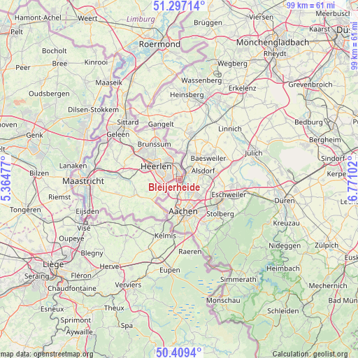
Bleijerheide GPS coordinates[2]
50° 51' 19.368" North, 6° 4' 4.404" East
| Map corner | latitude | longitude |
|---|---|---|
| Upper-left | 51.29714°, | 5.36477° |
| Center: | 50.85538°, | 6.06789° |
| Lower-right: | 50.4094°, | 6.77102° |
| Map W x H: | 98.7×98.7 km | = 61.3×61.3mi |
| max Lat: | 53.48025° ⇑98.1% North |
| Bleijerheide: | 50.85538° |
| min Lat: | ⇓1.9% South 50.76917° |
| min Long | Bleijerheide | max Long |
| 3.38611° | 6.06789° | 7.16528° |
| W 77.5%⇐ | ⇒22.5% E |
Elevation
Elevation of Bleijerheide is 163 m = 535 ft, and this is 148 m = 486 ft above average elevation for this country.
| Max E: |
203 m = 666 ft | 0.5% |
| Bleijerheide | 163 m 535 ft | |
| Avg. | 15 m = 49 ft | |
Min E: |
-6 m = -20 ft | 99.5% |
See also: Netherlands elevation on elevation.city.
Geographical zone
Bleijerheide is located in North temperate zone (between Tropic of Cancer and the Arctic Circle). Distance of this North polar circle is 1746.6 km =1085.3 mi to North.| Distance of | km | miles | from Bleijerheide |
|---|---|---|---|
| North Pole | 4352.5 | 2704.5 | to North |
| Arctic Circle | 1746.6 | 1085.3 | to North |
| Tropic Cancer | 3048.7 | 1894.4 | to South |
| Equator | 5654.6 | 3513.6 | to South |


Nearby cities:
15 places around Bleijerheide: (largest is in red/bold)
• Bocholtz
6 km =3.7 mi,  226°
226°
• Chevremont
2.3 km =1.4 mi,  345°
345°
• Gracht
2.8 km =1.7 mi,  261°
261°
• Groenstraat
6.2 km =3.9 mi, 347°
• Haanrade
2.8 km =1.7 mi,  9°
9°
• Holz
1.1 km =0.7 mi,  24°
24°
• Hopel
4.3 km =2.7 mi,  343°
343°
• Kaalheide
2.5 km =1.6 mi,  295°
295°
• Kerkrade
1.2 km =0.7 mi, 341°
• Lauradorp
6.5 km =4 mi, 346°
• Lichtenberg
6 km =3.7 mi,  330°
330°
• Rimburg
6.8 km =4.2 mi, 9°
• Simpelveld
6.5 km =4 mi,  248°
248°
• Spekholzerheide
3 km =1.9 mi,  270°
270°
• Terwinselen
3.3 km =2.1 mi,  292°
292°
Sources, notices
• [Note1] Compared only with cities in Netherlands existing in our database
• [Src1] Map data: © OpenStreetMap contributors (CC-BY-SA)
• [Src2] Other city data from geonames.org with taken over terms of usage.
• [Src3] Geographical zone / Annual Mean Temperature by Robert A. Rohde @ Wikipedia
