Terwinselen geodata
Terwinselen (Limburg) is a populated place; located in Netherlands in Europe/Amsterdam (GMT+2) time zone. With population of 3,820 people, there are 617 cities with bigger population in this country. Compared to other cities in Netherlands, 97.4% of cities are located further ↑North; 74.4% of cities are located further ←West and 99.1% of cities have lower elevation than Terwinselen. Note1


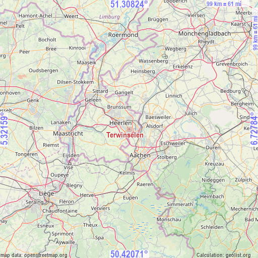
Terwinselen GPS coordinates[2]
50° 51' 59.724" North, 6° 1' 28.956" East
| Map corner | latitude | longitude |
|---|---|---|
| Upper-left | 51.30824°, | 5.32159° |
| Center: | 50.86659°, | 6.02471° |
| Lower-right: | 50.42071°, | 6.72784° |
| Map W x H: | 98.7×98.7 km | = 61.3×61.3mi |
| max Lat: | 53.48025° ⇑97.4% North |
| Terwinselen: | 50.86659° |
| min Lat: | ⇓2.6% South 50.76917° |
| min Long | Terwinselen | max Long |
| 3.38611° | 6.02471° | 7.16528° |
| W 74.4%⇐ | ⇒25.6% E |
Elevation
Elevation of Terwinselen is 154 m = 505 ft, and this is 139 m = 456 ft above average elevation for this country.
| Max E: |
203 m = 666 ft | 0.90000000000001% |
| Terwinselen | 154 m 505 ft | |
| Avg. | 15 m = 49 ft | |
Min E: |
-6 m = -20 ft | 99.1% |
See also: Netherlands elevation on elevation.city.
Geographical zone
Terwinselen is located in North temperate zone (between Tropic of Cancer and the Arctic Circle). Distance of this North polar circle is 1745.3 km =1084.5 mi to North.| Distance of | km | miles | from Terwinselen |
|---|---|---|---|
| North Pole | 4351.2 | 2703.7 | to North |
| Arctic Circle | 1745.3 | 1084.5 | to North |
| Tropic Cancer | 3049.9 | 1895.1 | to South |
| Equator | 5655.8 | 3514.4 | to South |


Nearby cities:
15 places around Terwinselen: (largest is in red/bold)
• Bleijerheide
3.3 km =2.1 mi,  112°
112°
• Chevremont
2.7 km =1.7 mi,  67°
67°
• Gracht
1.7 km =1.1 mi,  172°
172°
• Haanrade
3.8 km =2.4 mi, 67°
• Heerlen
3.6 km =2.2 mi,  302°
302°
• Holz
3.5 km =2.2 mi,  94°
94°
• Hopel
3.4 km =2.1 mi,  32°
32°
• Kaalheide
0.8 km =0.5 mi,  101°
101°
• Kakert
4.4 km =2.7 mi,  341°
341°
• Kerkrade
2.7 km =1.7 mi, 91°
• Lichtenberg
4 km =2.5 mi,  0°
0°
• Meezenbroek
4.1 km =2.5 mi,  324°
324°
• Palemig
5 km =3.1 mi, 324°
• Simpelveld
4.7 km =2.9 mi,  219°
219°
• Spekholzerheide
1.2 km =0.7 mi,  180°
180°
Sources, notices
• [Note1] Compared only with cities in Netherlands existing in our database
• [Src1] Map data: © OpenStreetMap contributors (CC-BY-SA)
• [Src2] Other city data from geonames.org with taken over terms of usage.
• [Src3] Geographical zone / Annual Mean Temperature by Robert A. Rohde @ Wikipedia
