Eijsden geodata
Eijsden (Limburg) is a populated place; located in Netherlands in Europe/Amsterdam (GMT+2) time zone. With population of 11,795 people, there are 259 cities with bigger population in this country. Compared to other cities in Netherlands, 99.8% of cities are located further ↑North; 52.7% of cities are located further ←West and 94% of cities have lower elevation than Eijsden. Note1


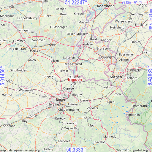
Eijsden GPS coordinates[2]
50° 46' 48" North, 5° 43' 3.72" East
| Map corner | latitude | longitude |
|---|---|---|
| Upper-left | 51.22247°, | 5.01458° |
| Center: | 50.78°, | 5.7177° |
| Lower-right: | 50.3333°, | 6.42083° |
| Map W x H: | 98.9×98.9 km | = 61.5×61.5mi |
| max Lat: | 53.48025° ⇑99.8% North |
| Eijsden: | 50.78° |
| min Lat: | ⇓0.2% South 50.76917° |
| min Long | Eijsden | max Long |
| 3.38611° | 5.7177° | 7.16528° |
| W 52.7%⇐ | ⇒47.3% E |
Elevation
Elevation of Eijsden is 58 m = 190 ft, and this is 43 m = 141 ft above average elevation for this country.
| Max E: |
203 m = 666 ft | 6% |
| Eijsden | 58 m 190 ft | |
| Avg. | 15 m = 49 ft | |
Min E: |
-6 m = -20 ft | 94% |
See also: Netherlands elevation on elevation.city.
Geographical zone
Eijsden is located in North temperate zone (between Tropic of Cancer and the Arctic Circle). Distance of this North polar circle is 1755 km =1090.5 mi to North.| Distance of | km | miles | from Eijsden |
|---|---|---|---|
| North Pole | 4360.9 | 2709.7 | to North |
| Arctic Circle | 1755 | 1090.5 | to North |
| Tropic Cancer | 3040.3 | 1889.2 | to South |
| Equator | 5646.2 | 3508.4 | to South |


Nearby cities:
15 places around Eijsden: (largest is in red/bold)
• Banholt
6.5 km =4 mi,  80°
80°
• Biesland
7.4 km =4.6 mi,  336°
336°
• De Heeg
5 km =3.1 mi,  4°
4°
• Eckelrade
4.5 km =2.8 mi,  47°
47°
• Gronsveld
3.5 km =2.2 mi,  14°
14°
• Heer
6.5 km =4 mi, 7°
• Heugem
5.4 km =3.4 mi,  352°
352°
• Maastricht
7.9 km =4.9 mi, 345°
• Mheer
5.2 km =3.2 mi,  90°
90°
• Noorbeek
6.8 km =4.2 mi,  100°
100°
• Oost
1.8 km =1.1 mi, 342°
• Rijckholt
2.4 km =1.5 mi,  25°
25°
• Scharn
7.9 km =4.9 mi, 8°
• Sint Geertruid
3.8 km =2.4 mi,  61°
61°
• Wolder
7.6 km =4.7 mi,  327°
327°
Sources, notices
• [Note1] Compared only with cities in Netherlands existing in our database
• [Src1] Map data: © OpenStreetMap contributors (CC-BY-SA)
• [Src2] Other city data from geonames.org with taken over terms of usage.
• [Src3] Geographical zone / Annual Mean Temperature by Robert A. Rohde @ Wikipedia
