Dalen geodata
Dalen (Drenthe) is a populated place; located in Netherlands in Europe/Amsterdam (GMT+2) time zone. With population of 3,295 people, there are 712 cities with bigger population in this country. Compared to other cities in Netherlands, 76.5% of cities are located further ↓South; 94.6% of cities are located further ←West and 72.5% of cities have lower elevation than Dalen. Note1


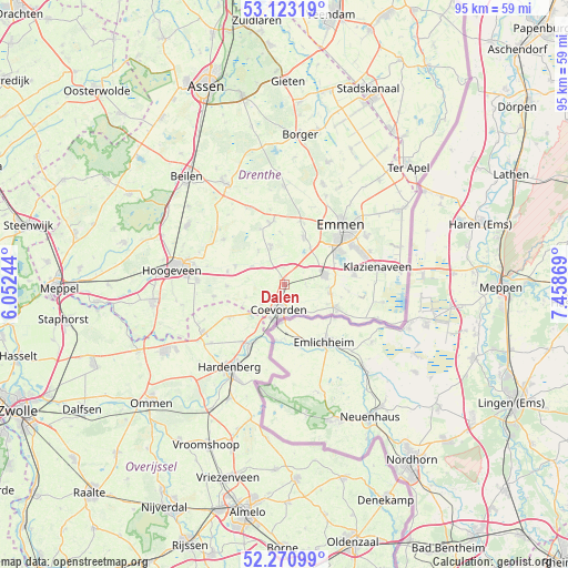
Dalen GPS coordinates[2]
52° 41' 57.012" North, 6° 45' 20.016" East
| Map corner | latitude | longitude |
|---|---|---|
| Upper-left | 53.12319°, | 6.05244° |
| Center: | 52.69917°, | 6.75556° |
| Lower-right: | 52.27099°, | 7.45869° |
| Map W x H: | 94.8×94.8 km | = 58.9×58.9mi |
| max Lat: | 53.48025° ⇑23.5% North |
| Dalen: | 52.69917° |
| min Lat: | ⇓76.5% South 50.76917° |
| min Long | Dalen | max Long |
| 3.38611° | 6.75556° | 7.16528° |
| W 94.6%⇐ | ⇒5.4% E |
Elevation
Elevation of Dalen is 16 m = 52 ft, and this is 1 m = 3 ft above average elevation for this country.
| Max E: |
203 m = 666 ft | 27.5% |
| Dalen | 16 m 52 ft | |
| Avg. | 15 m = 49 ft | |
Min E: |
-6 m = -20 ft | 72.5% |
See also: Netherlands elevation on elevation.city.
Geographical zone
Dalen is located in North temperate zone (between Tropic of Cancer and the Arctic Circle). Distance of this North polar circle is 1541.6 km =957.9 mi to North.| Distance of | km | miles | from Dalen |
|---|---|---|---|
| North Pole | 4147.5 | 2577.1 | to North |
| Arctic Circle | 1541.6 | 957.9 | to North |
| Tropic Cancer | 3253.7 | 2021.8 | to South |
| Equator | 5859.6 | 3641 | to South |


Nearby cities:
15 places around Dalen: (largest is in red/bold)
• Aalden
10.4 km =6.5 mi,  345°
345°
• Ballast
3.4 km =2.1 mi,  206°
206°
• Bargeres
11 km =6.8 mi,  50°
50°
• Coevorden
4.4 km =2.7 mi,  193°
193°
• Dalerpeel
6.8 km =4.2 mi,  251°
251°
• De Loo
3.2 km =2 mi,  199°
199°
• Gees
7 km =4.3 mi,  320°
320°
• Geesbrug
8.8 km =5.5 mi,  290°
290°
• Nieuw-Balinge
12.5 km =7.8 mi,  306°
306°
• Noordbarge
12 km =7.5 mi, 47°
• Oosterhesselen
6.5 km =4 mi,  339°
339°
• Schoonebeek
9.6 km =6 mi,  115°
115°
• Sleen
8.7 km =5.4 mi,  21°
21°
• Steenwijksmoer
5.1 km =3.2 mi,  229°
229°
• Veenoord
6.4 km =4 mi,  78°
78°
Sources, notices
• [Note1] Compared only with cities in Netherlands existing in our database
• [Src1] Map data: © OpenStreetMap contributors (CC-BY-SA)
• [Src2] Other city data from geonames.org with taken over terms of usage.
• [Src3] Geographical zone / Annual Mean Temperature by Robert A. Rohde @ Wikipedia
