Brielle geodata
Brielle (South Holland) is a populated place; located in Netherlands in Europe/Amsterdam (GMT+2) time zone. With population of 2,765 people, there are 794 cities with bigger population in this country. Compared to other cities in Netherlands, 57.6% of cities are located further ↑North; 95.5% of cities are located further →East and 83.9% of cities have higher elevation than Brielle. Note1


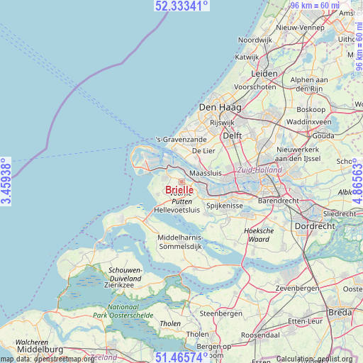
Brielle GPS coordinates[2]
51° 54' 6.012" North, 4° 9' 45" East
| Map corner | latitude | longitude |
|---|---|---|
| Upper-left | 52.33341°, | 3.45938° |
| Center: | 51.90167°, | 4.1625° |
| Lower-right: | 51.46574°, | 4.86563° |
| Map W x H: | 96.5×96.5 km | = 60×60mi |
| max Lat: | 53.48025° ⇑57.6% North |
| Brielle: | 51.90167° |
| min Lat: | ⇓42.4% South 50.76917° |
| min Long | Brielle | max Long |
| 3.38611° | 4.1625° | 7.16528° |
| W 4.5%⇐ | ⇒95.5% E |
Elevation
Elevation of Brielle is 1 m = 3 ft, and this is 14 m = 46 ft below average elevation for this country.
| Max E: |
203 m = 666 ft | 83.9% |
| Avg. | 15 m = 49 ft | |
| Brielle | 1 m = 3 ft | |
Min E: |
-6 m = -20 ft | 16.1% |
See also: Netherlands elevation on elevation.city.
Geographical zone
Brielle is located in North temperate zone (between Tropic of Cancer and the Arctic Circle). Distance of this North polar circle is 1630.2 km =1013 mi to North.| Distance of | km | miles | from Brielle |
|---|---|---|---|
| North Pole | 4236.1 | 2632.2 | to North |
| Arctic Circle | 1630.2 | 1013 | to North |
| Tropic Cancer | 3165 | 1966.6 | to South |
| Equator | 5770.9 | 3585.9 | to South |


Nearby cities:
15 places around Brielle: (largest is in red/bold)
• De Lier
10.1 km =6.3 mi,  35°
35°
• Heenweg
9 km =5.6 mi,  7°
7°
• Hellevoetsluis
7.9 km =4.9 mi,  194°
194°
• Hoek van Holland
8.7 km =5.4 mi,  346°
346°
• Maasdijk
7.3 km =4.5 mi,  28°
28°
• Maasland
8.3 km =5.2 mi,  64°
64°
• Maassluis
6.5 km =4 mi,  68°
68°
• Nieuwenhoorn
5.4 km =3.4 mi, 194°
• Oostvoorne
4.5 km =2.8 mi,  285°
285°
• Rockanje
7.1 km =4.4 mi,  242°
242°
• Rozenburg
5.9 km =3.7 mi,  87°
87°
• Rugge
0.8 km =0.5 mi,  248°
248°
• Stuifakker
7.1 km =4.4 mi, 254°
• Vierpolders
2.8 km =1.7 mi,  155°
155°
• Zwartewaal
4.5 km =2.8 mi,  116°
116°
Sources, notices
• [Note1] Compared only with cities in Netherlands existing in our database
• [Src1] Map data: © OpenStreetMap contributors (CC-BY-SA)
• [Src2] Other city data from geonames.org with taken over terms of usage.
• [Src3] Geographical zone / Annual Mean Temperature by Robert A. Rohde @ Wikipedia
