Borgele geodata
Borgele (Overijssel) is a section of populated place; located in Netherlands in Europe/Amsterdam (GMT+2) time zone. With population of 3,580 people, there are 658 cities with bigger population in this country. Compared to other cities in Netherlands, 65.7% of cities are located further ↓South; 81.6% of cities are located further ←West and 55.1% of cities have lower elevation than Borgele. Note1


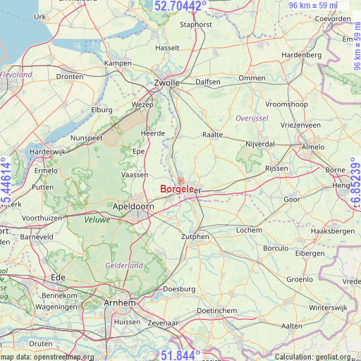
Borgele GPS coordinates[2]
52° 16' 34.68" North, 6° 8' 57.336" East
| Map corner | latitude | longitude |
|---|---|---|
| Upper-left | 52.70442°, | 5.44614° |
| Center: | 52.2763°, | 6.14926° |
| Lower-right: | 51.844°, | 6.85239° |
| Map W x H: | 95.7×95.7 km | = 59.5×59.5mi |
| max Lat: | 53.48025° ⇑34.3% North |
| Borgele: | 52.2763° |
| min Lat: | ⇓65.7% South 50.76917° |
| min Long | Borgele | max Long |
| 3.38611° | 6.14926° | 7.16528° |
| W 81.6%⇐ | ⇒18.4% E |
Elevation
Elevation of Borgele is 8 m = 26 ft, and this is 7 m = 23 ft below average elevation for this country.
| Max E: |
203 m = 666 ft | 44.9% |
| Avg. | 15 m = 49 ft | |
| Borgele | 8 m = 26 ft | |
Min E: |
-6 m = -20 ft | 55.1% |
See also: Netherlands elevation on elevation.city.
Geographical zone
Borgele is located in North temperate zone (between Tropic of Cancer and the Arctic Circle). Distance of this North polar circle is 1588.6 km =987.1 mi to North.| Distance of | km | miles | from Borgele |
|---|---|---|---|
| North Pole | 4194.5 | 2606.3 | to North |
| Arctic Circle | 1588.6 | 987.1 | to North |
| Tropic Cancer | 3206.7 | 1992.6 | to South |
| Equator | 5812.6 | 3611.8 | to South |


Nearby cities:
15 places around Borgele: (largest is in red/bold)
• Beemte-Broekland
11.1 km =6.9 mi,  258°
258°
• Boskamp
6.2 km =3.9 mi,  346°
346°
• De Hoven
3.1 km =1.9 mi,  187°
187°
• Deventer
2.6 km =1.6 mi,  157°
157°
• Epse
6.7 km =4.2 mi,  148°
148°
• Gorssel
9 km =5.6 mi, 156°
• Het Oostrik
5.4 km =3.4 mi,  122°
122°
• Oene
10.2 km =6.3 mi,  317°
317°
• Olst
7.3 km =4.5 mi,  338°
338°
• Schalkhaar
3.2 km =2 mi,  106°
106°
• Terwolde
3.4 km =2.1 mi,  283°
283°
• Twello
5.4 km =3.4 mi,  215°
215°
• Welsum
7.7 km =4.8 mi,  329°
329°
• Wilp
6.4 km =4 mi,  179°
179°
• Woudhuis
11.7 km =7.3 mi,  233°
233°
Sources, notices
• [Note1] Compared only with cities in Netherlands existing in our database
• [Src1] Map data: © OpenStreetMap contributors (CC-BY-SA)
• [Src2] Other city data from geonames.org with taken over terms of usage.
• [Src3] Geographical zone / Annual Mean Temperature by Robert A. Rohde @ Wikipedia
