Barendrecht geodata
Barendrecht (South Holland) is a populated place; located in Netherlands in Europe/Amsterdam (GMT+2) time zone. With population of 38,672 people, there are 83 cities with bigger population in this country. Compared to other cities in Netherlands, 60.9% of cities are located further ↑North; 88.1% of cities are located further →East and 83.9% of cities have higher elevation than Barendrecht. Note1


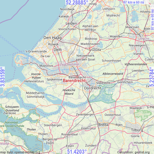
Barendrecht GPS coordinates[2]
51° 51' 24.012" North, 4° 32' 4.992" East
| Map corner | latitude | longitude |
|---|---|---|
| Upper-left | 52.28885°, | 3.83159° |
| Center: | 51.85667°, | 4.53472° |
| Lower-right: | 51.4203°, | 5.23784° |
| Map W x H: | 96.6×96.6 km | = 60×60mi |
| max Lat: | 53.48025° ⇑60.9% North |
| Barendrecht: | 51.85667° |
| min Lat: | ⇓39.1% South 50.76917° |
| min Long | Barendrecht | max Long |
| 3.38611° | 4.53472° | 7.16528° |
| W 11.9%⇐ | ⇒88.1% E |
Elevation
Elevation of Barendrecht is 1 m = 3 ft, and this is 14 m = 46 ft below average elevation for this country.
| Max E: |
203 m = 666 ft | 83.9% |
| Avg. | 15 m = 49 ft | |
| Barendrecht | 1 m = 3 ft | |
Min E: |
-6 m = -20 ft | 16.1% |
See also: Netherlands elevation on elevation.city.
Geographical zone
Barendrecht is located in North temperate zone (between Tropic of Cancer and the Arctic Circle). Distance of this North polar circle is 1635.3 km =1016.1 mi to North.| Distance of | km | miles | from Barendrecht |
|---|---|---|---|
| North Pole | 4241.1 | 2635.3 | to North |
| Arctic Circle | 1635.3 | 1016.1 | to North |
| Tropic Cancer | 3160 | 1963.5 | to South |
| Equator | 5765.9 | 3582.8 | to South |


Nearby cities:
15 places around Barendrecht: (largest is in red/bold)
• Bloemhof
5.1 km =3.2 mi,  331°
331°
• Bolnes
5.2 km =3.2 mi,  35°
35°
• Carnisse
5.3 km =3.3 mi,  312°
312°
• Groot IJsselmonde
3.1 km =1.9 mi,  19°
19°
• Heerjansdam
3.1 km =1.9 mi,  139°
139°
• Heinenoord
5.2 km =3.2 mi,  229°
229°
• Katendrecht
6.1 km =3.8 mi,  323°
323°
• Lombardijen
2.1 km =1.3 mi,  335°
335°
• Pendrecht
4.8 km =3 mi,  290°
290°
• Ridderkerk
5 km =3.1 mi,  69°
69°
• Rijsoord
4.2 km =2.6 mi,  98°
98°
• Slikkerveer
5.8 km =3.6 mi,  56°
56°
• Smitshoek
3.5 km =2.2 mi,  268°
268°
• Vreewijk
3.2 km =2 mi, 341°
• Zuidwijk
4 km =2.5 mi,  301°
301°
Sources, notices
• [Note1] Compared only with cities in Netherlands existing in our database
• [Src1] Map data: © OpenStreetMap contributors (CC-BY-SA)
• [Src2] Other city data from geonames.org with taken over terms of usage.
• [Src3] Geographical zone / Annual Mean Temperature by Robert A. Rohde @ Wikipedia
