Narvik geodata
Narvik (Nordland) is a seat of a second-order administrative division; located in Norway in Europe/Oslo (GMT+2) time zone. With population of 14,114 people, there are 34 cities with bigger population in this country. Compared to other cities in Norway, 90.8% of cities are located further ↓South; 93.4% of cities are located further ←West and 66% of cities have lower elevation than Narvik. Note1


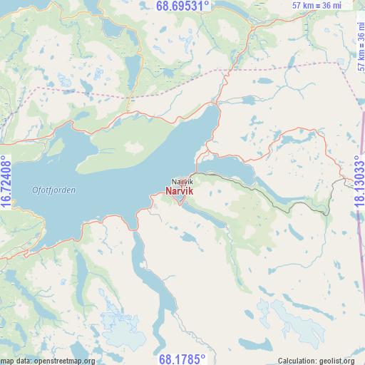
Narvik GPS coordinates[2]
68° 26' 18.168" North, 17° 25' 37.92" East
| Map corner | latitude | longitude |
|---|---|---|
| Upper-left | 68.69531°, | 16.72408° |
| Center: | 68.43838°, | 17.4272° |
| Lower-right: | 68.1785°, | 18.13033° |
| Map W x H: | 57.5×57.5 km | = 35.7×35.7mi |
| max Lat: | 71.04137° ⇑9.2% North |
| Narvik: | 68.43838° |
| min Lat: | ⇓90.8% South 58.0274° |
| min Long | Narvik | max Long |
| 4.71485° | 17.4272° | 31.11066° |
| W 93.4%⇐ | ⇒6.6% E |
Elevation
Elevation of Narvik is 100 m = 328 ft, and this is 4.2 m = 14 ft below average elevation for this country.
| Max E: |
897 m = 2943 ft | 34% |
| Avg. | 104.2 m = 342 ft | |
| Narvik | 100 m = 328 ft | |
Min E: |
1 m = 3 ft | 66% |
See also: Norway elevation on elevation.city.
Geographical zone
Narvik is located in North Frigid zone (between North Pole and Arctic Circle). Distance of this North polar circle is 208.5 km =129.6 mi to South.| Distance of | km | miles | from Narvik |
|---|---|---|---|
| North Pole | 2397.4 | 1489.7 | to North |
| Arctic Circle | 208.5 | 129.6 | to South |
| Tropic Cancer | 5003.7 | 3109.2 | to South |
| Equator | 7609.6 | 4728.4 | to South |


Nearby cities:
15 places around Narvik: (largest is in red/bold)
• Ballangen
26.6 km =16.5 mi,  246°
246°
• Beisfjord
9.8 km =6.1 mi,  135°
135°
• Bjerkvik
13.4 km =8.3 mi,  23°
23°
• Bogen
20.2 km =12.6 mi,  298°
298°
• Evenskjer
38.4 km =23.9 mi,  294°
294°
• Ginnasluokta
6.1 km =3.8 mi,  232°
232°
• Gratangen
25.7 km =16 mi, 23°
• Hamnvik
39.3 km =24.4 mi,  344°
344°
• Harstad
53.8 km =33.4 mi,  318°
318°
• Hol
43.9 km =27.3 mi, 286°
• Kjøpsvik
57.6 km =35.8 mi, 228°
• Lødingen
58.6 km =36.4 mi,  267°
267°
• Setermoen
60 km =37.3 mi,  38°
38°
• Sjøvegan
51.3 km =31.9 mi, 19°
• Tennevoll
37.6 km =23.4 mi, 24°
Sources, notices
• [Note1] Compared only with cities in Norway existing in our database
• [Src1] Map data: © OpenStreetMap contributors (CC-BY-SA)
• [Src2] Other city data from geonames.org with taken over terms of usage.
• [Src3] Geographical zone / Annual Mean Temperature by Robert A. Rohde @ Wikipedia
