Ranfurly geodata
Ranfurly (Otago) is a populated place; located in New Zealand in Pacific/Auckland (GMT+13) time zone. With population of 793 people, there are 154 cities with bigger population in this country. Compared to other cities in New Zealand, 89.4% of cities are located further ↑North; 88.9% of cities are located further →East and 97.6% of cities have lower elevation than Ranfurly. Note1


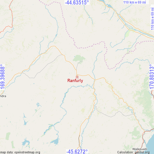
Ranfurly GPS coordinates[2]
45° 7' 59.988" South, 170° 6' 0" East
| Map corner | latitude | longitude |
|---|---|---|
| Upper-left | -44.63515°, | 169.39688° |
| Center: | -45.13333°, | 170.1° |
| Lower-right: | -45.6272°, | 170.80313° |
| Map W x H: | 110.3×110.3 km | = 68.5×68.5mi |
| max Lat: | -34.99604° ⇑89.4% North |
| Ranfurly: | -45.13333° |
| min Lat: | ⇓10.6% South -46.6° |
| min Long | Ranfurly | max Long |
| -176.55973° | 170.1° | 178.33333° |
| W 11.1%⇐ | ⇒88.9% E |
Elevation
Elevation of Ranfurly is 423 m = 1388 ft, and this is 338.6 m = 1111 ft above average elevation for this country.
| Max E: |
819 m = 2687 ft | 2.4% |
| Ranfurly | 423 m 1388 ft | |
| Avg. | 84.4 m = 277 ft | |
Min E: |
3 m = 10 ft | 97.6% |
See also: New Zealand elevation on elevation.city.
Geographical zone
Ranfurly is located in South temperate zone (between Tropic of Capricorn and the Antarctic Circle). Distance of this South polar circle is 2382.8 km =1480.6 mi to South.| Distance of | km | miles | from Ranfurly |
|---|---|---|---|
| Equator | 5018.4 | 3118.3 | to North |
| Tropic Capricorn | 2412.4 | 1499 | to North |
| Antarctic Circle | 2382.8 | 1480.6 | to South |
| South Pole | 4988.7 | 3099.8 | to South |


Nearby cities:
15 places around Ranfurly: (largest is in red/bold)
• Arrowtown
103.6 km =64.4 mi,  282°
282°
• Clyde
61.8 km =38.4 mi,  264°
264°
• Cromwell
71.4 km =44.4 mi, 278°
• Dunedin
88.2 km =54.8 mi,  159°
159°
• Kingston
110.7 km =68.8 mi, 258°
• Milton
110.3 km =68.5 mi,  185°
185°
• Oamaru
68.4 km =42.5 mi,  86°
86°
• Outram
82.2 km =51.1 mi,  172°
172°
• Pareora
111.7 km =69.4 mi,  50°
50°
• Portobello
90.5 km =56.2 mi,  151°
151°
• Queenstown
113.4 km =70.5 mi, 275°
• Roxburgh
76.3 km =47.4 mi,  233°
233°
• Timaru
122.5 km =76.1 mi, 48°
• Waitati
77.6 km =48.2 mi, 152°
• Wanaka
89 km =55.3 mi,  302°
302°
Sources, notices
• [Note1] Compared only with cities in New Zealand existing in our database
• [Src1] Map data: © OpenStreetMap contributors (CC-BY-SA)
• [Src2] Other city data from geonames.org with taken over terms of usage.
• [Src3] Geographical zone / Annual Mean Temperature by Robert A. Rohde @ Wikipedia
