Oamaru geodata
Oamaru (Otago) is a populated place; located in New Zealand in Pacific/Auckland (GMT+12) time zone. With population of 13,000 people, there are 37 cities with bigger population in this country. Compared to other cities in New Zealand, 88.9% of cities are located further ↑North; 85.5% of cities are located further →East and 76.8% of cities have higher elevation than Oamaru. Note1


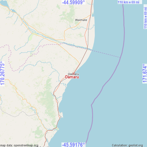
Oamaru GPS coordinates[2]
45° 5' 51.288" South, 170° 58' 15.132" East
| Map corner | latitude | longitude |
|---|---|---|
| Upper-left | -44.59909°, | 170.26775° |
| Center: | -45.09758°, | 170.97087° |
| Lower-right: | -45.59176°, | 171.674° |
| Map W x H: | 110.4×110.4 km | = 68.6×68.6mi |
| max Lat: | -34.99604° ⇑88.9% North |
| Oamaru: | -45.09758° |
| min Lat: | ⇓11.1% South -46.6° |
| min Long | Oamaru | max Long |
| -176.55973° | 170.97087° | 178.33333° |
| W 14.5%⇐ | ⇒85.5% E |
Elevation
Elevation of Oamaru is 12 m = 39 ft, and this is 72.4 m = 238 ft below average elevation for this country.
| Max E: |
819 m = 2687 ft | 76.8% |
| Avg. | 84.4 m = 277 ft | |
| Oamaru | 12 m = 39 ft | |
Min E: |
3 m = 10 ft | 23.2% |
See also: New Zealand elevation on elevation.city.
Geographical zone
Oamaru is located in South temperate zone (between Tropic of Capricorn and the Antarctic Circle). Distance of this South polar circle is 2386.8 km =1483.1 mi to South.| Distance of | km | miles | from Oamaru |
|---|---|---|---|
| Equator | 5014.4 | 3115.8 | to North |
| Tropic Capricorn | 2408.5 | 1496.6 | to North |
| Antarctic Circle | 2386.8 | 1483.1 | to South |
| South Pole | 4992.7 | 3102.3 | to South |


Nearby cities:
15 places around Oamaru: (largest is in red/bold)
• Clyde
130.2 km =80.9 mi,  265°
265°
• Cromwell
139.2 km =86.5 mi, 272°
• Dunedin
93.7 km =58.2 mi,  202°
202°
• Fairlie
111.5 km =69.3 mi,  354°
354°
• Geraldine
114 km =70.8 mi,  10°
10°
• Milton
137.9 km =85.7 mi,  214°
214°
• Outram
103 km =64 mi, 213°
• Pareora
68.9 km =42.8 mi,  15°
15°
• Pleasant Point
93.3 km =58 mi, 7°
• Portobello
87.3 km =54.2 mi, 196°
• Ranfurly
68.4 km =42.5 mi, 266°
• Roxburgh
138.5 km =86.1 mi,  249°
249°
• Timaru
81.1 km =50.4 mi, 15°
• Tinwald
144 km =89.5 mi, 24°
• Waitati
79.1 km =49.2 mi, 203°
Sources, notices
• [Note1] Compared only with cities in New Zealand existing in our database
• [Src1] Map data: © OpenStreetMap contributors (CC-BY-SA)
• [Src2] Other city data from geonames.org with taken over terms of usage.
• [Src3] Geographical zone / Annual Mean Temperature by Robert A. Rohde @ Wikipedia
