Las Huacas geodata
Las Huacas (Veraguas) is a seat of a third-order administrative division; located in Panama in America/Panama (GMT-5) time zone. With population of 180 people, there are 613 cities with bigger population in this country. Compared to other cities in Panama, 86.5% of cities are located further ↑North; 64.2% of cities are located further →East and 73.6% of cities have higher elevation than Las Huacas. Note1


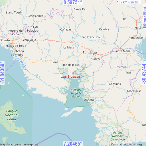
Las Huacas GPS coordinates[2]
7° 54' 6.012" North, 81° 8' 26.016" West
| Map corner | latitude | longitude |
|---|---|---|
| Upper-left | 8.59751°, | -81.84369° |
| Center: | 7.90167°, | -81.14056° |
| Lower-right: | 7.20465°, | -80.43744° |
| Map W x H: | 154.9×154.9 km | = 96.3×96.3mi |
| max Lat: | 9.60898° ⇑86.5% North |
| Las Huacas: | 7.90167° |
| min Lat: | ⇓13.5% South 7.26534° |
| min Long | Las Huacas | max Long |
| -82.91275° | -81.14056° | -77.38965° |
| W 35.8%⇐ | ⇒64.2% E |
Elevation
Elevation of Las Huacas is 32 m = 105 ft, and this is 140.1 m = 460 ft below average elevation for this country.
| Max E: |
2103 m = 6900 ft | 73.6% |
| Avg. | 172.1 m = 565 ft | |
| Las Huacas | 32 m = 105 ft | |
Min E: |
-1 m = -3 ft | 26.4% |
See also: Panama elevation on elevation.city.
Geographical zone
Las Huacas is located in North Torrid zone (between Equator and Tropic of Cancer). Distance of Equator is 878.6 km =545.9 mi to South.| Distance of | km | miles | from Las Huacas |
|---|---|---|---|
| North Pole | 9128.5 | 5672.2 | to North |
| Arctic Circle | 6522.6 | 4053 | to North |
| Tropic Cancer | 1727.3 | 1073.3 | to North |
| Equator | 878.6 | 545.9 | to South |


Nearby cities:
15 places around Las Huacas: (largest is in red/bold)
• El Bongo
11.4 km =7.1 mi,  62°
62°
• El Marañón
17 km =10.6 mi,  331°
331°
• El Pilón
9.2 km =5.7 mi,  50°
50°
• El Pájaro
6.1 km =3.8 mi,  20°
20°
• Guarumal
17.7 km =11 mi,  227°
227°
• La Garceana
14.2 km =8.8 mi,  73°
73°
• La Soledad
15.1 km =9.4 mi,  260°
260°
• Leones Arriba
16.6 km =10.3 mi,  170°
170°
• Llano Grande
19.2 km =11.9 mi,  1°
1°
• Los Castillos
13.7 km =8.5 mi,  9°
9°
• Montijo
13.4 km =8.3 mi,  43°
43°
• Ponuga
17.9 km =11.1 mi,  96°
96°
• Rincón Largo
9.5 km =5.9 mi, 58°
• Río de Jesús
8.9 km =5.5 mi,  344°
344°
• Utirá
11.6 km =7.2 mi,  312°
312°
Sources, notices
• [Note1] Compared only with cities in Panama existing in our database
• [Src1] Map data: © OpenStreetMap contributors (CC-BY-SA)
• [Src2] Other city data from geonames.org with taken over terms of usage.
• [Src3] Geographical zone / Annual Mean Temperature by Robert A. Rohde @ Wikipedia
