Quivilla geodata
Quivilla (Huanuco) is a seat of a third-order administrative division; located in Peru in America/Lima (GMT-5) time zone. In our database, there are 305 cities with bigger population. Compared to other cities in Peru, 63.9% of cities are located further ↓South; 62.9% of cities are located further →East and 53.2% of cities have lower elevation than Quivilla. Note1


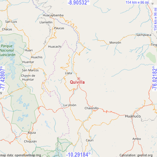
Quivilla GPS coordinates[2]
9° 35' 57.444" South, 76° 43' 29.784" West
| Map corner | latitude | longitude |
|---|---|---|
| Upper-left | -8.90532°, | -77.42807° |
| Center: | -9.59929°, | -76.72494° |
| Lower-right: | -10.29184°, | -76.02182° |
| Map W x H: | 154.2×154.2 km | = 95.8×95.8mi |
| max Lat: | -0.96667° ⇑36.1% North |
| Quivilla: | -9.59929° |
| min Lat: | ⇓63.9% South -18.01465° |
| min Long | Quivilla | max Long |
| -81.30472° | -76.72494° | -69.04167° |
| W 37.1%⇐ | ⇒62.9% E |
Elevation
Elevation of Quivilla is 2970 m = 9744 ft, and this is 651.3 m = 2137 ft above average elevation for this country.
| Max E: |
5022 m = 16476 ft | 46.8% |
| Quivilla | 2970 m 9744 ft | |
| Avg. | 2318.7 m = 7607 ft | |
Min E: |
1 m = 3 ft | 53.2% |
See also: Peru elevation on elevation.city.
Geographical zone
Quivilla is located in South Torrid zone (between Equator and Tropic of Capricorn). Distance of Equator is 1067.3 km =663.2 mi to North.| Distance of | km | miles | from Quivilla |
|---|---|---|---|
| Equator | 1067.3 | 663.2 | to North |
| Tropic Capricorn | 1538.6 | 956 | to South |
| Antarctic Circle | 6333.8 | 3935.6 | to South |
| South Pole | 8939.7 | 5554.9 | to South |


Nearby cities:
15 places around Quivilla: (largest is in red/bold)
• Chuquis
8.9 km =5.5 mi,  165°
165°
• Jacas Grande
6.7 km =4.2 mi,  349°
349°
• Llata
11.4 km =7.1 mi,  298°
298°
• Llata
21.3 km =13.2 mi,  342°
342°
• Miraflores
15.6 km =9.7 mi,  318°
318°
• Obas
22.8 km =14.2 mi,  163°
163°
• Pachas
13 km =8.1 mi,  203°
203°
• Pampamarca
12.1 km =7.5 mi, 168°
• Punchao
18.4 km =11.4 mi,  325°
325°
• Puños
20.9 km =13 mi, 302°
• Shunqui
16.4 km =10.2 mi, 204°
• Sillapata
18.5 km =11.5 mi, 197°
• Singa
25.4 km =15.8 mi, 337°
• Tantamayo
23.1 km =14.4 mi,  0°
0°
• Yanas
13 km =8.1 mi,  191°
191°
Sources, notices
• [Note1] Compared only with cities in Peru existing in our database
• [Src1] Map data: © OpenStreetMap contributors (CC-BY-SA)
• [Src2] Other city data from geonames.org with taken over terms of usage.
• [Src3] Geographical zone / Annual Mean Temperature by Robert A. Rohde @ Wikipedia
