Puños geodata
Puños (Huanuco) is a seat of a third-order administrative division; located in Peru in America/Lima (GMT-5) time zone. In our database, there are 305 cities with bigger population. Compared to other cities in Peru, 64.5% of cities are located further ↓South; 65.9% of cities are located further →East and 85.3% of cities have lower elevation than Puños. Note1


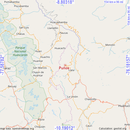
Puños GPS coordinates[2]
9° 29' 50.46" South, 76° 53' 4.884" West
| Map corner | latitude | longitude |
|---|---|---|
| Upper-left | -8.80318°, | -77.58782° |
| Center: | -9.49735°, | -76.88469° |
| Lower-right: | -10.19012°, | -76.18157° |
| Map W x H: | 154.2×154.2 km | = 95.8×95.8mi |
| max Lat: | -0.96667° ⇑35.5% North |
| Puños: | -9.49735° |
| min Lat: | ⇓64.5% South -18.01465° |
| min Long | Puños | max Long |
| -81.30472° | -76.88469° | -69.04167° |
| W 34.1%⇐ | ⇒65.9% E |
Elevation
Elevation of Puños is 3664 m = 12021 ft, and this is 1345.3 m = 4414 ft above average elevation for this country.
| Max E: |
5022 m = 16476 ft | 14.7% |
| Puños | 3664 m 12021 ft | |
| Avg. | 2318.7 m = 7607 ft | |
Min E: |
1 m = 3 ft | 85.3% |
See also: Peru elevation on elevation.city.
Geographical zone
Puños is located in South Torrid zone (between Equator and Tropic of Capricorn). Distance of Equator is 1056 km =656.2 mi to North.| Distance of | km | miles | from Puños |
|---|---|---|---|
| Equator | 1056 | 656.2 | to North |
| Tropic Capricorn | 1549.9 | 963.1 | to South |
| Antarctic Circle | 6345.2 | 3942.7 | to South |
| South Pole | 8951.1 | 5562 | to South |


Nearby cities:
15 places around Puños: (largest is in red/bold)
• Anra
29.7 km =18.5 mi,  351°
351°
• Chuquis
28.1 km =17.5 mi,  135°
135°
• Huacachi
21 km =13 mi,  343°
343°
• Huachis
27 km =16.8 mi,  289°
289°
• Jacas Grande
16.9 km =10.5 mi,  106°
106°
• Llata
9.5 km =5.9 mi,  127°
127°
• Llata
14.3 km =8.9 mi,  51°
51°
• Miraflores
7.2 km =4.5 mi,  87°
87°
• Pachas
26.4 km =16.4 mi,  151°
151°
• Punchao
8.1 km =5 mi,  61°
61°
• Quivilla
20.9 km =13 mi,  122°
122°
• Shunqui
28.4 km =17.6 mi,  157°
157°
• Singa
14.6 km =9.1 mi,  32°
32°
• Tantamayo
21.3 km =13.2 mi, 56°
• Yanas
28.4 km =17.6 mi, 148°
Sources, notices
• [Note1] Compared only with cities in Peru existing in our database
• [Src1] Map data: © OpenStreetMap contributors (CC-BY-SA)
• [Src2] Other city data from geonames.org with taken over terms of usage.
• [Src3] Geographical zone / Annual Mean Temperature by Robert A. Rohde @ Wikipedia
