Pantoja geodata
Pantoja (Loreto) is a seat of a third-order administrative division; located in Peru in America/Lima (GMT-5) time zone. In our database, there are 305 cities with bigger population. Compared to other cities in Peru, 100% of cities are located further ↓South; 57.4% of cities are located further ←West and 84.8% of cities have higher elevation than Pantoja. Note1


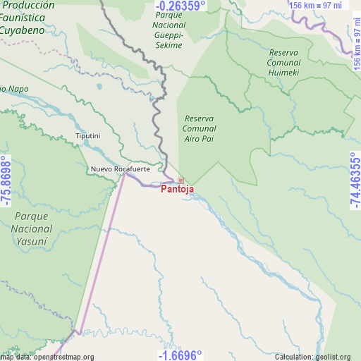
Pantoja GPS coordinates[2]
0° 58' 0.012" South, 75° 10' 0.012" West
| Map corner | latitude | longitude |
|---|---|---|
| Upper-left | -0.26359°, | -75.8698° |
| Center: | -0.96667°, | -75.16667° |
| Lower-right: | -1.6696°, | -74.46355° |
| Map W x H: | 156.3×156.3 km | = 97.1×97.1mi |
| max Lat: | -0.96667° ⇑0% North |
| Pantoja: | -0.96667° |
| min Lat: | ⇓100% South -18.01465° |
| min Long | Pantoja | max Long |
| -81.30472° | -75.16667° | -69.04167° |
| W 57.4%⇐ | ⇒42.6% E |
Elevation
Elevation of Pantoja is 185 m = 607 ft, and this is 2133.7 m = 7000 ft below average elevation for this country.
| Max E: |
5022 m = 16476 ft | 84.8% |
| Avg. | 2318.7 m = 7607 ft | |
| Pantoja | 185 m = 607 ft | |
Min E: |
1 m = 3 ft | 15.2% |
See also: Peru elevation on elevation.city.
Geographical zone
Pantoja is located in South Torrid zone (between Equator and Tropic of Capricorn). Distance of Equator is 107.5 km =66.8 mi to North.| Distance of | km | miles | from Pantoja |
|---|---|---|---|
| Equator | 107.5 | 66.8 | to North |
| Tropic Capricorn | 2498.4 | 1552.4 | to South |
| Antarctic Circle | 7293.7 | 4532.1 | to South |
| South Pole | 9899.6 | 6151.3 | to South |


Nearby cities:
9 places around Pantoja: (largest is in red/bold)
• Alianza Cristiana
312.5 km =194.2 mi,  206°
206°
• Concordia
402.5 km =250.1 mi,  173°
173°
• Indiana
366.8 km =227.9 mi,  140°
140°
• Iquitos
375.3 km =233.2 mi,  145°
145°
• Nauta
435.3 km =270.5 mi,  155°
155°
• Parinari
408.5 km =253.8 mi, 168°
• San Antonio del Estrecho
322.9 km =200.6 mi,  120°
120°
• San Juan
369.9 km =229.8 mi, 151°
• Trompeteros
316.8 km =196.9 mi,  177°
177°
Sources, notices
• [Note1] Compared only with cities in Peru existing in our database
• [Src1] Map data: © OpenStreetMap contributors (CC-BY-SA)
• [Src2] Other city data from geonames.org with taken over terms of usage.
• [Src3] Geographical zone / Annual Mean Temperature by Robert A. Rohde @ Wikipedia
