Cujillo geodata
Cujillo (Cajamarca) is a seat of a third-order administrative division; located in Peru in America/Lima (GMT-5) time zone. In our database, there are 305 cities with bigger population. Compared to other cities in Peru, 88.9% of cities are located further ↓South; 86% of cities are located further →East and 69.5% of cities have higher elevation than Cujillo. Note1


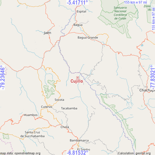
Cujillo GPS coordinates[2]
6° 7' 0.012" South, 78° 31' 59.988" West
| Map corner | latitude | longitude |
|---|---|---|
| Upper-left | -5.41711°, | -79.23646° |
| Center: | -6.11667°, | -78.53333° |
| Lower-right: | -6.81532°, | -77.83021° |
| Map W x H: | 155.5×155.5 km | = 96.6×96.6mi |
| max Lat: | -0.96667° ⇑11.1% North |
| Cujillo: | -6.11667° |
| min Lat: | ⇓88.9% South -18.01465° |
| min Long | Cujillo | max Long |
| -81.30472° | -78.53333° | -69.04167° |
| W 14%⇐ | ⇒86% E |
Elevation
Elevation of Cujillo is 1503 m = 4931 ft, and this is 815.7 m = 2676 ft below average elevation for this country.
| Max E: |
5022 m = 16476 ft | 69.5% |
| Avg. | 2318.7 m = 7607 ft | |
| Cujillo | 1503 m = 4931 ft | |
Min E: |
1 m = 3 ft | 30.5% |
See also: Peru elevation on elevation.city.
Geographical zone
Cujillo is located in South Torrid zone (between Equator and Tropic of Capricorn). Distance of Equator is 680.1 km =422.6 mi to North.| Distance of | km | miles | from Cujillo |
|---|---|---|---|
| Equator | 680.1 | 422.6 | to North |
| Tropic Capricorn | 1925.8 | 1196.6 | to South |
| Antarctic Circle | 6721.1 | 4176.3 | to South |
| South Pole | 9327 | 5795.5 | to South |


Nearby cities:
15 places around Cujillo: (largest is in red/bold)
• Bagua Grande
41.4 km =25.7 mi,  14°
14°
• Cajaruro
43.9 km =27.3 mi,  15°
15°
• Chalamarca
42.3 km =26.3 mi,  170°
170°
• Chiguirip
40 km =24.9 mi,  213°
213°
• Choropampa
41 km =25.5 mi,  150°
150°
• Choros
29.8 km =18.5 mi,  323°
323°
• Collonce
39.9 km =24.8 mi,  117°
117°
• Cumba
24.9 km =15.5 mi, 324°
• Jamalca
40.9 km =25.4 mi,  47°
47°
• La Sacilia
28.2 km =17.5 mi,  310°
310°
• Lonya Grande
12.6 km =7.8 mi,  78°
78°
• Paccha
44.2 km =27.5 mi,  163°
163°
• Providencia
38.2 km =23.7 mi, 121°
• Socota
30.1 km =18.7 mi,  227°
227°
• Tacabamba
31 km =19.3 mi,  197°
197°
Sources, notices
• [Note1] Compared only with cities in Peru existing in our database
• [Src1] Map data: © OpenStreetMap contributors (CC-BY-SA)
• [Src2] Other city data from geonames.org with taken over terms of usage.
• [Src3] Geographical zone / Annual Mean Temperature by Robert A. Rohde @ Wikipedia
