Chingas geodata
Chingas (Ancash) is a seat of a third-order administrative division; located in Peru in America/Lima (GMT-5) time zone. In our database, there are 305 cities with bigger population. Compared to other cities in Peru, 68.2% of cities are located further ↓South; 67.3% of cities are located further →East and 50.1% of cities have higher elevation than Chingas. Note1


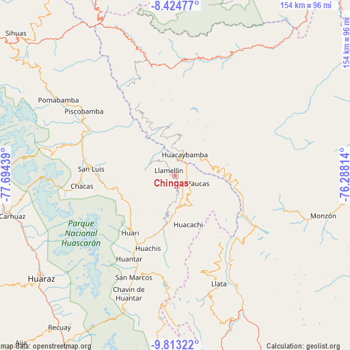
Chingas GPS coordinates[2]
9° 7' 10.812" South, 76° 59' 28.536" West
| Map corner | latitude | longitude |
|---|---|---|
| Upper-left | -8.42477°, | -77.69439° |
| Center: | -9.11967°, | -76.99126° |
| Lower-right: | -9.81322°, | -76.28814° |
| Map W x H: | 154.4×154.4 km | = 95.9×95.9mi |
| max Lat: | -0.96667° ⇑31.8% North |
| Chingas: | -9.11967° |
| min Lat: | ⇓68.2% South -18.01465° |
| min Long | Chingas | max Long |
| -81.30472° | -76.99126° | -69.04167° |
| W 32.7%⇐ | ⇒67.3% E |
Elevation
Elevation of Chingas is 2852 m = 9357 ft, and this is 533.3 m = 1750 ft above average elevation for this country.
| Max E: |
5022 m = 16476 ft | 50.1% |
| Chingas | 2852 m 9357 ft | |
| Avg. | 2318.7 m = 7607 ft | |
Min E: |
1 m = 3 ft | 49.9% |
See also: Peru elevation on elevation.city.
Geographical zone
Chingas is located in South Torrid zone (between Equator and Tropic of Capricorn). Distance of Equator is 1014 km =630.1 mi to North.| Distance of | km | miles | from Chingas |
|---|---|---|---|
| Equator | 1014 | 630.1 | to North |
| Tropic Capricorn | 1591.9 | 989.2 | to South |
| Antarctic Circle | 6387.2 | 3968.8 | to South |
| South Pole | 8993 | 5588 | to South |


Nearby cities:
15 places around Chingas: (largest is in red/bold)
• Aczo
3.6 km =2.2 mi,  176°
176°
• Anra
14.6 km =9.1 mi,  149°
149°
• Arancay
27.2 km =16.9 mi,  102°
102°
• Cochabamba
17.2 km =10.7 mi,  80°
80°
• Huacachi
22.6 km =14 mi,  165°
165°
• Huacaybamba
10 km =6.2 mi,  24°
24°
• Huacchis
24.1 km =15 mi,  111°
111°
• Huachis
35.8 km =22.2 mi,  202°
202°
• Huari
35.6 km =22.1 mi,  228°
228°
• Paucas
10.8 km =6.7 mi, 109°
• Rapayan
27 km =16.8 mi, 109°
• San Luis
39.6 km =24.6 mi,  275°
275°
• Singa
35.6 km =22.1 mi, 146°
• Uco
10.3 km =6.4 mi,  137°
137°
• Yauya
37.1 km =23.1 mi,  294°
294°
Sources, notices
• [Note1] Compared only with cities in Peru existing in our database
• [Src1] Map data: © OpenStreetMap contributors (CC-BY-SA)
• [Src2] Other city data from geonames.org with taken over terms of usage.
• [Src3] Geographical zone / Annual Mean Temperature by Robert A. Rohde @ Wikipedia
