Urcos geodata
Urcos (Cusco) is a seat of a third-order administrative division; located in Peru in America/Lima (GMT-5) time zone. With population of 5,479 people, there are 226 cities with bigger population in this country. Compared to other cities in Peru, 69.9% of cities are located further ↑North; 84.3% of cities are located further ←West and 58.9% of cities have lower elevation than Urcos. Note1


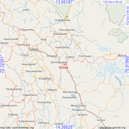
Urcos GPS coordinates[2]
13° 41' 9.996" South, 71° 37' 22.008" West
| Map corner | latitude | longitude |
|---|---|---|
| Upper-left | -13.00197°, | -72.32591° |
| Center: | -13.68611°, | -71.62278° |
| Lower-right: | -14.36826°, | -70.91966° |
| Map W x H: | 151.9×151.9 km | = 94.4×94.4mi |
| max Lat: | -0.96667° ⇑69.9% North |
| Urcos: | -13.68611° |
| min Lat: | ⇓30.1% South -18.01465° |
| min Long | Urcos | max Long |
| -81.30472° | -71.62278° | -69.04167° |
| W 84.3%⇐ | ⇒15.7% E |
Elevation
Elevation of Urcos is 3127 m = 10259 ft, and this is 808.3 m = 2652 ft above average elevation for this country.
| Max E: |
5022 m = 16476 ft | 41.1% |
| Urcos | 3127 m 10259 ft | |
| Avg. | 2318.7 m = 7607 ft | |
Min E: |
1 m = 3 ft | 58.9% |
See also: Peru elevation on elevation.city.
Geographical zone
Urcos is located in South Torrid zone (between Equator and Tropic of Capricorn). Distance of this Southern Tropic circle is 1084.2 km =673.7 mi to South.| Distance of | km | miles | from Urcos |
|---|---|---|---|
| Equator | 1521.8 | 945.6 | to North |
| Tropic Capricorn | 1084.2 | 673.7 | to South |
| Antarctic Circle | 5879.4 | 3653.3 | to South |
| South Pole | 8485.3 | 5272.5 | to South |


Nearby cities:
15 places around Urcos: (largest is in red/bold)
• Acomayo
26.4 km =16.4 mi,  193°
193°
• Acos
31.9 km =19.8 mi,  202°
202°
• Andahuaylillas
6.3 km =3.9 mi,  283°
283°
• Caicay
13.1 km =8.1 mi,  320°
320°
• Ccatca
11.3 km =7 mi,  37°
37°
• Colcha
26.8 km =16.7 mi,  226°
226°
• Cusipata
28 km =17.4 mi,  151°
151°
• Huaro
1.4 km =0.9 mi,  260°
260°
• Lucre
13.6 km =8.5 mi,  294°
294°
• Ocongate
26.5 km =16.5 mi,  75°
75°
• Oropesa
19.2 km =11.9 mi,  302°
302°
• Paruro
25.9 km =16.1 mi,  250°
250°
• Quiquijana
17.7 km =11 mi, 149°
• San Salvador
26.9 km =16.7 mi, 322°
• Saylla
28.1 km =17.5 mi, 299°
Sources, notices
• [Note1] Compared only with cities in Peru existing in our database
• [Src1] Map data: © OpenStreetMap contributors (CC-BY-SA)
• [Src2] Other city data from geonames.org with taken over terms of usage.
• [Src3] Geographical zone / Annual Mean Temperature by Robert A. Rohde @ Wikipedia
