Incuyo geodata
Incuyo (Ayacucho) is a seat of a third-order administrative division; located in Peru in America/Lima (GMT-5) time zone. In our database, there are 305 cities with bigger population. Compared to other cities in Peru, 87.6% of cities are located further ↑North; 69.5% of cities are located further ←West and 67.3% of cities have lower elevation than Incuyo. Note1


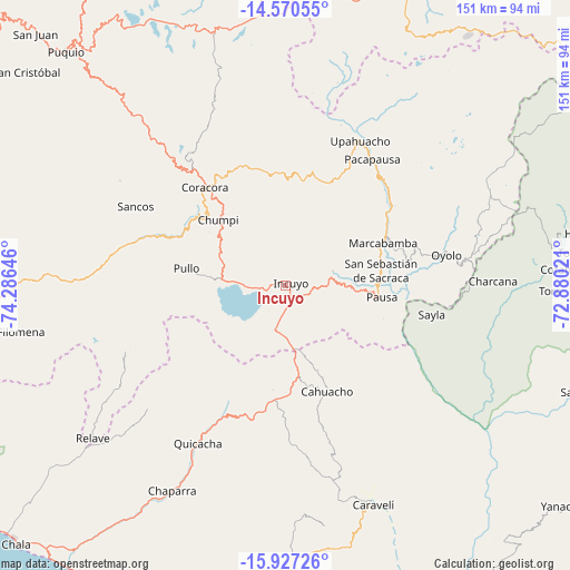
Incuyo GPS coordinates[2]
15° 15' 0" South, 73° 34' 59.988" West
| Map corner | latitude | longitude |
|---|---|---|
| Upper-left | -14.57055°, | -74.28646° |
| Center: | -15.25°, | -73.58333° |
| Lower-right: | -15.92726°, | -72.88021° |
| Map W x H: | 150.9×150.9 km | = 93.8×93.8mi |
| max Lat: | -0.96667° ⇑87.6% North |
| Incuyo: | -15.25° |
| min Lat: | ⇓12.4% South -18.01465° |
| min Long | Incuyo | max Long |
| -81.30472° | -73.58333° | -69.04167° |
| W 69.5%⇐ | ⇒30.5% E |
Elevation
Elevation of Incuyo is 3295 m = 10810 ft, and this is 976.3 m = 3203 ft above average elevation for this country.
| Max E: |
5022 m = 16476 ft | 32.7% |
| Incuyo | 3295 m 10810 ft | |
| Avg. | 2318.7 m = 7607 ft | |
Min E: |
1 m = 3 ft | 67.3% |
See also: Peru elevation on elevation.city.
Geographical zone
Incuyo is located in South Torrid zone (between Equator and Tropic of Capricorn). Distance of this Southern Tropic circle is 910.3 km =565.6 mi to South.| Distance of | km | miles | from Incuyo |
|---|---|---|---|
| Equator | 1695.6 | 1053.6 | to North |
| Tropic Capricorn | 910.3 | 565.6 | to South |
| Antarctic Circle | 5705.5 | 3545.2 | to South |
| South Pole | 8311.4 | 5164.5 | to South |


Nearby cities:
15 places around Incuyo: (largest is in red/bold)
• Cahuacho
30.6 km =19 mi,  158°
158°
• Chaviña
40 km =24.9 mi,  317°
317°
• Chumpi
25.8 km =16 mi,  310°
310°
• Colta
32.5 km =20.2 mi,  72°
72°
• Coracora
32.3 km =20.1 mi, 318°
• Corculla
41.1 km =25.5 mi,  91°
91°
• Lampa
26.2 km =16.3 mi, 73°
• Marcabamba
28.2 km =17.5 mi, 66°
• Oyolo
43.3 km =26.9 mi,  79°
79°
• Pacapausa
40.5 km =25.2 mi,  34°
34°
• Pausa
25.7 km =16 mi,  97°
97°
• Pullo
25.3 km =15.7 mi,  278°
278°
• Quilcata
13.9 km =8.6 mi, 88°
• Tauria
39.4 km =24.5 mi,  107°
107°
• Upahuacho
43.4 km =27 mi, 26°
Sources, notices
• [Note1] Compared only with cities in Peru existing in our database
• [Src1] Map data: © OpenStreetMap contributors (CC-BY-SA)
• [Src2] Other city data from geonames.org with taken over terms of usage.
• [Src3] Geographical zone / Annual Mean Temperature by Robert A. Rohde @ Wikipedia
