Chosica geodata
Chosica (Lima region) is a seat of a third-order administrative division; located in Peru in America/Lima (GMT-5) time zone. With population of 88,606 people, there are 23 cities with bigger population in this country. Compared to other cities in Peru, 52.6% of cities are located further ↑North; 62.6% of cities are located further →East and 74.3% of cities have higher elevation than Chosica. Note1


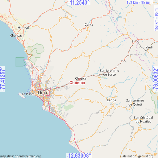
Chosica GPS coordinates[2]
11° 56' 35.016" South, 76° 42' 33.984" West
| Map corner | latitude | longitude |
|---|---|---|
| Upper-left | -11.2543°, | -77.41257° |
| Center: | -11.94306°, | -76.70944° |
| Lower-right: | -12.63008°, | -76.00632° |
| Map W x H: | 153×153 km | = 95.1×95.1mi |
| max Lat: | -0.96667° ⇑52.6% North |
| Chosica: | -11.94306° |
| min Lat: | ⇓47.4% South -18.01465° |
| min Long | Chosica | max Long |
| -81.30472° | -76.70944° | -69.04167° |
| W 37.4%⇐ | ⇒62.6% E |
Elevation
Elevation of Chosica is 831 m = 2726 ft, and this is 1487.7 m = 4881 ft below average elevation for this country.
| Max E: |
5022 m = 16476 ft | 74.3% |
| Avg. | 2318.7 m = 7607 ft | |
| Chosica | 831 m = 2726 ft | |
Min E: |
1 m = 3 ft | 25.7% |
See also: Chosica elevation on elevation.city.
Geographical zone
Chosica is located in South Torrid zone (between Equator and Tropic of Capricorn). Distance of this Southern Tropic circle is 1278 km =794.1 mi to South.| Distance of | km | miles | from Chosica |
|---|---|---|---|
| Equator | 1327.9 | 825.1 | to North |
| Tropic Capricorn | 1278 | 794.1 | to South |
| Antarctic Circle | 6073.2 | 3773.7 | to South |
| South Pole | 8679.1 | 5392.9 | to South |


Nearby cities:
15 places around Chosica: (largest is in red/bold)
• Arahuay
35.9 km =22.3 mi,  6°
6°
• Asentamiento Humano Nicolas de Pierola
0.9 km =0.6 mi,  23°
23°
• Callahuanca
16.3 km =10.1 mi,  38°
38°
• Chaclacayo
7.7 km =4.8 mi,  235°
235°
• Cieneguilla
24.2 km =15 mi,  208°
208°
• Cocachacra
18.9 km =11.7 mi,  79°
79°
• La Molina
30.5 km =19 mi, 239°
• Matucana
35.2 km =21.9 mi,  72°
72°
• Ricardo Palma
6.4 km =4 mi, 65°
• San Luis
34.4 km =21.4 mi, 244°
• Santa Eulalia
6.9 km =4.3 mi,  46°
46°
• Santa María
21.2 km =13.2 mi,  250°
250°
• Surco
30.1 km =18.7 mi, 77°
• Vitarte
26.3 km =16.3 mi, 247°
• Yangas
31.3 km =19.4 mi,  331°
331°
Sources, notices
• [Note1] Compared only with cities in Peru existing in our database
• [Src1] Map data: © OpenStreetMap contributors (CC-BY-SA)
• [Src2] Other city data from geonames.org with taken over terms of usage.
• [Src3] Geographical zone / Annual Mean Temperature by Robert A. Rohde @ Wikipedia
