Kavieng geodata
Kavieng (New Ireland) is a seat of a first-order administrative division; located in Papua New Guinea in Pacific/Port_Moresby (GMT+10) time zone. With population of 14,490 people, there are 14 cities with bigger population in this country. Compared to other cities in Papua New Guinea, 97.7% of cities are located further ↓South; 84.1% of cities are located further ←West and 97.7% of cities have higher elevation than Kavieng. Note1


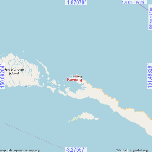
Kavieng GPS coordinates[2]
2° 34' 24.132" South, 150° 47' 42.576" East
| Map corner | latitude | longitude |
|---|---|---|
| Upper-left | -1.87078°, | 150.09204° |
| Center: | -2.57337°, | 150.79516° |
| Lower-right: | -3.27557°, | 151.49829° |
| Map W x H: | 156.2×156.2 km | = 97.1×97.1mi |
| max Lat: | -2.0341° ⇑2.3% North |
| Kavieng: | -2.57337° |
| min Lat: | ⇓97.7% South -10.61038° |
| min Long | Kavieng | max Long |
| 141.29061° | 150.79516° | 155.69147° |
| W 84.1%⇐ | ⇒15.9% E |
Elevation
Elevation of Kavieng is 1 m = 3 ft, and this is 580 m = 1903 ft below average elevation for this country.
| Max E: |
2248 m = 7375 ft | 97.7% |
| Avg. | 581 m = 1906 ft | |
| Kavieng | 1 m = 3 ft | |
Min E: |
0 m = 0 ft | 2.3% |
See also: Papua New Guinea elevation on elevation.city.
Geographical zone
Kavieng is located in South Torrid zone (between Equator and Tropic of Capricorn). Distance of Equator is 286.1 km =177.8 mi to North.| Distance of | km | miles | from Kavieng |
|---|---|---|---|
| Equator | 286.1 | 177.8 | to North |
| Tropic Capricorn | 2319.8 | 1441.5 | to South |
| Antarctic Circle | 7115 | 4421.1 | to South |
| South Pole | 9720.9 | 6040.3 | to South |


Nearby cities:
5 places around Kavieng: (largest is in red/bold)
• Kandrian
427 km =265.3 mi,  198°
198°
• Kimbe
339 km =210.6 mi,  192°
192°
• Kokopo
255.9 km =159 mi,  140°
140°
• Lorengau
396 km =246.1 mi,  278°
278°
• Rabaul
236.2 km =146.8 mi, 139°
Sources, notices
• [Note1] Compared only with cities in Papua New Guinea existing in our database
• [Src1] Map data: © OpenStreetMap contributors (CC-BY-SA)
• [Src2] Other city data from geonames.org with taken over terms of usage.
• [Src3] Geographical zone / Annual Mean Temperature by Robert A. Rohde @ Wikipedia
