San Juan geodata
San Juan (Western Visayas) is a populated place; located in Philippines in Asia/Manila (GMT+8) time zone. With population of 2,894 people, there are 2651 cities with bigger population in this country. Compared to other cities in Philippines, 64.3% of cities are located further ↑North; 50.9% of cities are located further ←West and 76.6% of cities have higher elevation than San Juan. Note1
Administrative division(s):
- Level 1: Western Visayas
- Level 2: Province of Negros Occidental
- Level 3: Pontevedra


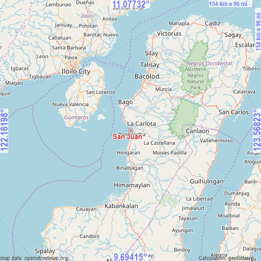
San Juan GPS coordinates[2]
10° 23' 11.4" North, 122° 51' 54.36" East
| Map corner | latitude | longitude |
|---|---|---|
| Upper-left | 11.07732°, | 122.16198° |
| Center: | 10.3865°, | 122.8651° |
| Lower-right: | 9.69415°, | 123.56823° |
| Map W x H: | 153.8×153.8 km | = 95.6×95.6mi |
| max Lat: | 20.78733° ⇑64.3% North |
| San Juan: | 10.3865° |
| min Lat: | ⇓35.7% South 4.65442° |
| min Long | San Juan | max Long |
| 117.04868° | 122.8651° | 126.58417° |
| W 50.9%⇐ | ⇒49.1% E |
Elevation
Elevation of San Juan is 10 m = 33 ft, and this is 77.9 m = 256 ft below average elevation for this country.
| Max E: |
2262 m = 7421 ft | 76.6% |
| Avg. | 87.9 m = 288 ft | |
| San Juan | 10 m = 33 ft | |
Min E: |
-2 m = -7 ft | 23.4% |
See also: Philippines elevation on elevation.city.
Geographical zone
San Juan is located in North Torrid zone (between Equator and Tropic of Cancer). Distance of Equator is 1154.9 km =717.6 mi to South.| Distance of | km | miles | from San Juan |
|---|---|---|---|
| North Pole | 8852.2 | 5500.5 | to North |
| Arctic Circle | 6246.3 | 3881.3 | to North |
| Tropic Cancer | 1451 | 901.6 | to North |
| Equator | 1154.9 | 717.6 | to South |


Nearby cities:
15 places around San Juan: (largest is in red/bold)
• Alijis
8.6 km =5.3 mi,  337°
337°
• Antipolo
11.4 km =7.1 mi,  107°
107°
• Bagumbayan
7.4 km =4.6 mi,  333°
333°
• Baliwagan
3.1 km =1.9 mi,  67°
67°
• Canroma
3.3 km =2.1 mi,  152°
152°
• Carmen Grande
5.6 km =3.5 mi,  98°
98°
• Himaya
8.1 km =5 mi, 333°
• La Carlota
7.4 km =4.6 mi,  55°
55°
• Miranda
9.2 km =5.7 mi,  171°
171°
• Pacol
8.8 km =5.5 mi,  323°
323°
• Pontevedra
1.4 km =0.9 mi, 165°
• Sagasa
9.6 km =6 mi,  19°
19°
• San Enrique
3.7 km =2.3 mi, 333°
• Sibucao
4.2 km =2.6 mi,  34°
34°
• Valladolid
9.5 km =5.9 mi, 332°
Sources, notices
• [Note1] Compared only with cities in Philippines existing in our database
• [Src1] Map data: © OpenStreetMap contributors (CC-BY-SA)
• [Src2] Other city data from geonames.org with taken over terms of usage.
• [Src3] Geographical zone / Annual Mean Temperature by Robert A. Rohde @ Wikipedia
