Pugo geodata
Pugo (Ilocos) is a seat of a third-order administrative division; located in Philippines in Asia/Manila (GMT+8) time zone. With population of 2,354 people, there are 3552 cities with bigger population in this country. Compared to other cities in Philippines, 90% of cities are located further ↓South; 91.6% of cities are located further →East and 74.1% of cities have lower elevation than Pugo. Note1


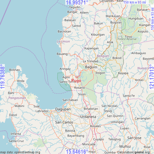
Pugo GPS coordinates[2]
16° 19' 19.56" North, 120° 28' 1.2" East
| Map corner | latitude | longitude |
|---|---|---|
| Upper-left | 16.99571°, | 119.76388° |
| Center: | 16.3221°, | 120.467° |
| Lower-right: | 15.64616°, | 121.17013° |
| Map W x H: | 150.1×150.1 km | = 93.3×93.3mi |
| max Lat: | 20.78733° ⇑10% North |
| Pugo: | 16.3221° |
| min Lat: | ⇓90% South 4.65442° |
| min Long | Pugo | max Long |
| 117.04868° | 120.467° | 126.58417° |
| W 8.4%⇐ | ⇒91.6% E |
Elevation
Elevation of Pugo is 65 m = 213 ft, and this is 22.9 m = 75 ft below average elevation for this country.
| Max E: |
2262 m = 7421 ft | 25.9% |
| Avg. | 87.9 m = 288 ft | |
| Pugo | 65 m = 213 ft | |
Min E: |
-2 m = -7 ft | 74.1% |
See also: Philippines elevation on elevation.city.
Geographical zone
Pugo is located in North Torrid zone (between Equator and Tropic of Cancer). Distance of this Northern Tropic circle is 791.1 km =491.6 mi to North.| Distance of | km | miles | from Pugo |
|---|---|---|---|
| North Pole | 8192.2 | 5090.4 | to North |
| Arctic Circle | 5586.3 | 3471.2 | to North |
| Tropic Cancer | 791.1 | 491.6 | to North |
| Equator | 1814.8 | 1127.7 | to South |


Nearby cities:
15 places around Pugo: (largest is in red/bold)
• Agoo
10.7 km =6.6 mi,  270°
270°
• Bail
8.1 km =5 mi,  241°
241°
• Caronoan West
6.9 km =4.3 mi,  198°
198°
• Halog West
7.5 km =4.7 mi,  311°
311°
• Inabaan Sur
6.7 km =4.2 mi,  169°
169°
• Leones East
9.2 km =5.7 mi,  299°
299°
• Lloren
3.8 km =2.4 mi,  288°
288°
• Macalva Norte
9.1 km =5.7 mi, 288°
• Namboongan
10 km =6.2 mi,  257°
257°
• Rosario
10.4 km =6.5 mi, 168°
• Santo Tomas
10.5 km =6.5 mi, 243°
• Tabaan
5.8 km =3.6 mi,  114°
114°
• Taloy
3.7 km =2.3 mi,  70°
70°
• Tuba
8.8 km =5.5 mi,  93°
93°
• Tubao
6.5 km =4 mi, 296°
Sources, notices
• [Note1] Compared only with cities in Philippines existing in our database
• [Src1] Map data: © OpenStreetMap contributors (CC-BY-SA)
• [Src2] Other city data from geonames.org with taken over terms of usage.
• [Src3] Geographical zone / Annual Mean Temperature by Robert A. Rohde @ Wikipedia
