Patnanungan geodata
Patnanungan (Calabarzon) is a populated place; located in Philippines in Asia/Manila (GMT+8) time zone. With population of 6,901 people, there are 899 cities with bigger population in this country. Compared to other cities in Philippines, 75.6% of cities are located further ↓South; 58.1% of cities are located further →East and 50.3% of cities have higher elevation than Patnanungan. Note1


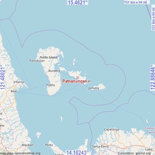
Patnanungan GPS coordinates[2]
14° 46' 59.988" North, 122° 10' 59.988" East
| Map corner | latitude | longitude |
|---|---|---|
| Upper-left | 15.4621°, | 121.48021° |
| Center: | 14.78333°, | 122.18333° |
| Lower-right: | 14.10243°, | 122.88646° |
| Map W x H: | 151.2×151.2 km | = 94×94mi |
| max Lat: | 20.78733° ⇑24.4% North |
| Patnanungan: | 14.78333° |
| min Lat: | ⇓75.6% South 4.65442° |
| min Long | Patnanungan | max Long |
| 117.04868° | 122.18333° | 126.58417° |
| W 41.9%⇐ | ⇒58.1% E |
Elevation
Elevation of Patnanungan is 23 m = 75 ft, and this is 64.9 m = 213 ft below average elevation for this country.
| Max E: |
2262 m = 7421 ft | 50.3% |
| Avg. | 87.9 m = 288 ft | |
| Patnanungan | 23 m = 75 ft | |
Min E: |
-2 m = -7 ft | 49.7% |
See also: Philippines elevation on elevation.city.
Geographical zone
Patnanungan is located in North Torrid zone (between Equator and Tropic of Cancer). Distance of this Northern Tropic circle is 962.2 km =597.9 mi to North.| Distance of | km | miles | from Patnanungan |
|---|---|---|---|
| North Pole | 8363.3 | 5196.7 | to North |
| Arctic Circle | 5757.4 | 3577.5 | to North |
| Tropic Cancer | 962.2 | 597.9 | to North |
| Equator | 1643.8 | 1021.4 | to South |


Nearby cities:
15 places around Patnanungan: (largest is in red/bold)
• Bantilan
55.4 km =34.4 mi,  267°
267°
• Banugao
60.9 km =37.8 mi, 266°
• Binulasan
52.5 km =32.6 mi,  263°
263°
• Burdeos
24 km =14.9 mi,  286°
286°
• Calabaca
60.1 km =37.3 mi,  153°
153°
• Capalonga
60.4 km =37.5 mi, 146°
• Casuguran
21.8 km =13.5 mi,  109°
109°
• Dinahican
50.7 km =31.5 mi, 261°
• General Nakar
58.9 km =36.6 mi, 267°
• Infanta
57.6 km =35.8 mi, 265°
• Karligan
26.2 km =16.3 mi,  324°
324°
• Panukulan
42.8 km =26.6 mi, 293°
• Polillo
26.3 km =16.3 mi,  253°
253°
• Pulo
59.7 km =37.1 mi, 262°
• Sibulan
27.1 km =16.8 mi, 262°
Sources, notices
• [Note1] Compared only with cities in Philippines existing in our database
• [Src1] Map data: © OpenStreetMap contributors (CC-BY-SA)
• [Src2] Other city data from geonames.org with taken over terms of usage.
• [Src3] Geographical zone / Annual Mean Temperature by Robert A. Rohde @ Wikipedia
