Casuguran geodata
Casuguran (Calabarzon) is a populated place; located in Philippines in Asia/Manila (GMT+8) time zone. With population of 2,270 people, there are 3742 cities with bigger population in this country. Compared to other cities in Philippines, 75.3% of cities are located further ↓South; 56.5% of cities are located further →East and 80.7% of cities have higher elevation than Casuguran. Note1


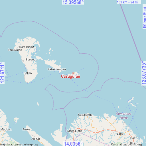
Casuguran GPS coordinates[2]
14° 43' 0.12" North, 122° 22' 27.192" East
| Map corner | latitude | longitude |
|---|---|---|
| Upper-left | 15.39568°, | 121.6711° |
| Center: | 14.7167°, | 122.37422° |
| Lower-right: | 14.0356°, | 123.07735° |
| Map W x H: | 151.2×151.2 km | = 94×94mi |
| max Lat: | 20.78733° ⇑24.7% North |
| Casuguran: | 14.7167° |
| min Lat: | ⇓75.3% South 4.65442° |
| min Long | Casuguran | max Long |
| 117.04868° | 122.37422° | 126.58417° |
| W 43.5%⇐ | ⇒56.5% E |
Elevation
Elevation of Casuguran is 9 m = 30 ft, and this is 78.9 m = 259 ft below average elevation for this country.
| Max E: |
2262 m = 7421 ft | 80.7% |
| Avg. | 87.9 m = 288 ft | |
| Casuguran | 9 m = 30 ft | |
Min E: |
-2 m = -7 ft | 19.3% |
See also: Philippines elevation on elevation.city.
Geographical zone
Casuguran is located in North Torrid zone (between Equator and Tropic of Cancer). Distance of this Northern Tropic circle is 969.6 km =602.5 mi to North.| Distance of | km | miles | from Casuguran |
|---|---|---|---|
| North Pole | 8370.7 | 5201.3 | to North |
| Arctic Circle | 5764.8 | 3582.1 | to North |
| Tropic Cancer | 969.6 | 602.5 | to North |
| Equator | 1636.3 | 1016.7 | to South |


Nearby cities:
15 places around Casuguran: (largest is in red/bold)
• Alayao
52 km =32.3 mi,  158°
158°
• Banocboc
51.5 km =32 mi,  154°
154°
• Burdeos
45.8 km =28.5 mi,  287°
287°
• Calabaca
46.8 km =29.1 mi,  172°
172°
• Capalonga
44.8 km =27.8 mi, 163°
• Gumaus
58.7 km =36.5 mi,  140°
140°
• Jose Pañganiban
58.4 km =36.3 mi, 144°
• Karligan
45.8 km =28.5 mi,  308°
308°
• Larap
55.1 km =34.2 mi, 147°
• Luklukan
56.7 km =35.2 mi, 140°
• Palali
47.2 km =29.3 mi, 165°
• Patnanungan
21.8 km =13.5 mi, 289°
• Polillo
45.7 km =28.4 mi,  270°
270°
• Sibulan
47.6 km =29.6 mi, 274°
• Tigbinan
59.8 km =37.2 mi, 170°
Sources, notices
• [Note1] Compared only with cities in Philippines existing in our database
• [Src1] Map data: © OpenStreetMap contributors (CC-BY-SA)
• [Src2] Other city data from geonames.org with taken over terms of usage.
• [Src3] Geographical zone / Annual Mean Temperature by Robert A. Rohde @ Wikipedia
