Capalonga geodata
Capalonga (Bicol) is a seat of a third-order administrative division; located in Philippines in Asia/Manila (GMT+8) time zone. With population of 3,900 people, there are 1791 cities with bigger population in this country. Compared to other cities in Philippines, 73.2% of cities are located further ↓South; 55% of cities are located further →East and 95.5% of cities have higher elevation than Capalonga. Note1


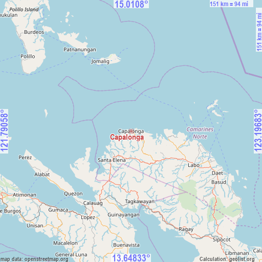
Capalonga GPS coordinates[2]
14° 19' 50.16" North, 122° 29' 37.32" East
| Map corner | latitude | longitude |
|---|---|---|
| Upper-left | 15.0108°, | 121.79058° |
| Center: | 14.3306°, | 122.4937° |
| Lower-right: | 13.64833°, | 123.19683° |
| Map W x H: | 151.5×151.5 km | = 94.1×94.1mi |
| max Lat: | 20.78733° ⇑26.8% North |
| Capalonga: | 14.3306° |
| min Lat: | ⇓73.2% South 4.65442° |
| min Long | Capalonga | max Long |
| 117.04868° | 122.4937° | 126.58417° |
| W 45%⇐ | ⇒55% E |
Elevation
Elevation of Capalonga is 5 m = 16 ft, and this is 82.9 m = 272 ft below average elevation for this country.
| Max E: |
2262 m = 7421 ft | 95.5% |
| Avg. | 87.9 m = 288 ft | |
| Capalonga | 5 m = 16 ft | |
Min E: |
-2 m = -7 ft | 4.5% |
See also: Philippines elevation on elevation.city.
Geographical zone
Capalonga is located in North Torrid zone (between Equator and Tropic of Cancer). Distance of this Northern Tropic circle is 1012.5 km =629.1 mi to North.| Distance of | km | miles | from Capalonga |
|---|---|---|---|
| North Pole | 8413.6 | 5228 | to North |
| Arctic Circle | 5807.8 | 3608.8 | to North |
| Tropic Cancer | 1012.5 | 629.1 | to North |
| Equator | 1593.4 | 990.1 | to South |


Nearby cities:
15 places around Capalonga: (largest is in red/bold)
• Alayao
8.3 km =5.2 mi,  130°
130°
• Banocboc
10.2 km =6.3 mi,  109°
109°
• Basiad
25.7 km =16 mi,  220°
220°
• Calabaca
7.3 km =4.5 mi,  242°
242°
• Daguit
29.6 km =18.4 mi,  122°
122°
• Gumaus
24.8 km =15.4 mi,  95°
95°
• Jose Pañganiban
21.8 km =13.5 mi, 101°
• Larap
17.2 km =10.7 mi, 101°
• Luklukan
23.6 km =14.7 mi,  91°
91°
• Malatap
16.1 km =10 mi,  172°
172°
• Palali
2.8 km =1.7 mi,  197°
197°
• Santa Elena
21.5 km =13.4 mi,  213°
213°
• Santa Rosa Sur
26 km =16.2 mi, 107°
• Tigbinan
16.2 km =10.1 mi,  189°
189°
• Tugos
28.5 km =17.7 mi, 104°
Sources, notices
• [Note1] Compared only with cities in Philippines existing in our database
• [Src1] Map data: © OpenStreetMap contributors (CC-BY-SA)
• [Src2] Other city data from geonames.org with taken over terms of usage.
• [Src3] Geographical zone / Annual Mean Temperature by Robert A. Rohde @ Wikipedia
