Panganiban geodata
Panganiban (Ilocos) is a populated place; located in Philippines in Asia/Manila (GMT+8) time zone. With population of 2,698 people, there are 2949 cities with bigger population in this country. Compared to other cities in Philippines, 87.7% of cities are located further ↓South; 82.9% of cities are located further →East and 76.6% of cities have lower elevation than Panganiban. Note1


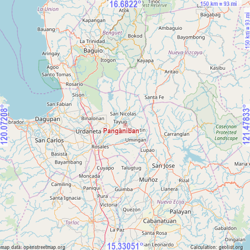
Panganiban GPS coordinates[2]
16° 0' 27" North, 120° 46' 30.72" East
| Map corner | latitude | longitude |
|---|---|---|
| Upper-left | 16.6822°, | 120.07208° |
| Center: | 16.0075°, | 120.7752° |
| Lower-right: | 15.33051°, | 121.47833° |
| Map W x H: | 150.3×150.3 km | = 93.4×93.4mi |
| max Lat: | 20.78733° ⇑12.3% North |
| Panganiban: | 16.0075° |
| min Lat: | ⇓87.7% South 4.65442° |
| min Long | Panganiban | max Long |
| 117.04868° | 120.7752° | 126.58417° |
| W 17.1%⇐ | ⇒82.9% E |
Elevation
Elevation of Panganiban is 74 m = 243 ft, and this is 13.9 m = 46 ft below average elevation for this country.
| Max E: |
2262 m = 7421 ft | 23.4% |
| Avg. | 87.9 m = 288 ft | |
| Panganiban | 74 m = 243 ft | |
Min E: |
-2 m = -7 ft | 76.6% |
See also: Philippines elevation on elevation.city.
Geographical zone
Panganiban is located in North Torrid zone (between Equator and Tropic of Cancer). Distance of this Northern Tropic circle is 826.1 km =513.3 mi to North.| Distance of | km | miles | from Panganiban |
|---|---|---|---|
| North Pole | 8227.2 | 5112.1 | to North |
| Arctic Circle | 5621.3 | 3492.9 | to North |
| Tropic Cancer | 826.1 | 513.3 | to North |
| Equator | 1779.9 | 1106 | to South |


Nearby cities:
15 places around Panganiban: (largest is in red/bold)
• Alac
4 km =2.5 mi,  123°
123°
• Bantog
8.8 km =5.5 mi,  271°
271°
• Baro
10.9 km =6.8 mi, 265°
• Cabalaoangan
2.8 km =1.7 mi,  162°
162°
• Cabalitian
9.2 km =5.7 mi,  11°
11°
• Capandanan
10.1 km =6.3 mi,  237°
237°
• Carriedo
3.4 km =2.1 mi,  320°
320°
• Lagasit
2.5 km =1.6 mi,  127°
127°
• Magallanes
4.1 km =2.5 mi,  289°
289°
• Nancalobasaan
10.9 km =6.8 mi,  138°
138°
• Natividad
4.8 km =3 mi,  31°
31°
• San Nicolas
7.1 km =4.4 mi,  348°
348°
• San Quintin
4.7 km =2.9 mi, 121°
• Santa Maria
8.5 km =5.3 mi,  249°
249°
• Tayug
4.1 km =2.5 mi,  303°
303°
Sources, notices
• [Note1] Compared only with cities in Philippines existing in our database
• [Src1] Map data: © OpenStreetMap contributors (CC-BY-SA)
• [Src2] Other city data from geonames.org with taken over terms of usage.
• [Src3] Geographical zone / Annual Mean Temperature by Robert A. Rohde @ Wikipedia
