Pandan geodata
Pandan (Bicol) is a seat of a third-order administrative division; located in Philippines in Asia/Manila (GMT+8) time zone. With population of 5,093 people, there are 1260 cities with bigger population in this country. Compared to other cities in Philippines, 69.7% of cities are located further ↓South; 73.7% of cities are located further ←West and 97.1% of cities have higher elevation than Pandan. Note1


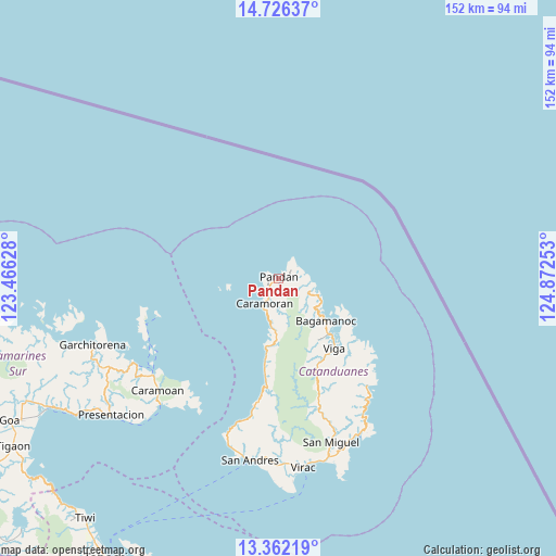
Pandan GPS coordinates[2]
14° 2' 43.08" North, 124° 10' 9.84" East
| Map corner | latitude | longitude |
|---|---|---|
| Upper-left | 14.72637°, | 123.46628° |
| Center: | 14.0453°, | 124.1694° |
| Lower-right: | 13.36219°, | 124.87253° |
| Map W x H: | 151.7×151.7 km | = 94.3×94.3mi |
| max Lat: | 20.78733° ⇑30.3% North |
| Pandan: | 14.0453° |
| min Lat: | ⇓69.7% South 4.65442° |
| min Long | Pandan | max Long |
| 117.04868° | 124.1694° | 126.58417° |
| W 73.7%⇐ | ⇒26.3% E |
Elevation
Elevation of Pandan is 4 m = 13 ft, and this is 83.9 m = 275 ft below average elevation for this country.
| Max E: |
2262 m = 7421 ft | 97.1% |
| Avg. | 87.9 m = 288 ft | |
| Pandan | 4 m = 13 ft | |
Min E: |
-2 m = -7 ft | 2.9% |
See also: Philippines elevation on elevation.city.
Geographical zone
Pandan is located in North Torrid zone (between Equator and Tropic of Cancer). Distance of this Northern Tropic circle is 1044.2 km =648.8 mi to North.| Distance of | km | miles | from Pandan |
|---|---|---|---|
| North Pole | 8445.4 | 5247.7 | to North |
| Arctic Circle | 5839.5 | 3628.5 | to North |
| Tropic Cancer | 1044.2 | 648.8 | to North |
| Equator | 1561.7 | 970.4 | to South |


Nearby cities:
15 places around Pandan: (largest is in red/bold)
• Bagamanoc
17.4 km =10.8 mi,  131°
131°
• Baras
48.1 km =29.9 mi,  153°
153°
• Cabcab
48.2 km =30 mi,  195°
195°
• Calolbon
50.5 km =31.4 mi,  188°
188°
• Caramoan
45 km =28 mi,  227°
227°
• Caramoran
7.7 km =4.8 mi,  209°
209°
• Gibgos
48.1 km =29.9 mi,  244°
244°
• Gigmoto
37.9 km =23.5 mi,  141°
141°
• Guijalo
47.2 km =29.3 mi,  223°
223°
• Manamrag
35.2 km =21.9 mi, 191°
• Panganiban
21.3 km =13.2 mi, 139°
• San Andres
50.1 km =31.1 mi, 188°
• San Miguel
47.2 km =29.3 mi,  162°
162°
• Tubli
12.8 km =8 mi, 190°
• Viga
24.5 km =15.2 mi, 141°
Sources, notices
• [Note1] Compared only with cities in Philippines existing in our database
• [Src1] Map data: © OpenStreetMap contributors (CC-BY-SA)
• [Src2] Other city data from geonames.org with taken over terms of usage.
• [Src3] Geographical zone / Annual Mean Temperature by Robert A. Rohde @ Wikipedia
