Pandan geodata
Pandan (Bicol) is a populated place; located in Philippines in Asia/Manila (GMT+8) time zone. With population of 2,331 people, there are 3607 cities with bigger population in this country. Compared to other cities in Philippines, 64.9% of cities are located further ↓South; 54.7% of cities are located further ←West and 97.1% of cities have higher elevation than Pandan. Note1


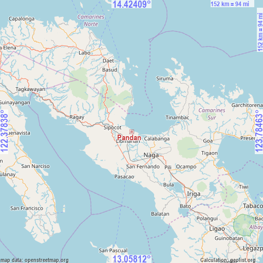
Pandan GPS coordinates[2]
13° 44' 31.56" North, 123° 4' 53.4" East
| Map corner | latitude | longitude |
|---|---|---|
| Upper-left | 14.42409°, | 122.37838° |
| Center: | 13.7421°, | 123.0815° |
| Lower-right: | 13.05812°, | 123.78463° |
| Map W x H: | 151.9×151.9 km | = 94.4×94.4mi |
| max Lat: | 20.78733° ⇑35.1% North |
| Pandan: | 13.7421° |
| min Lat: | ⇓64.9% South 4.65442° |
| min Long | Pandan | max Long |
| 117.04868° | 123.0815° | 126.58417° |
| W 54.7%⇐ | ⇒45.3% E |
Elevation
Elevation of Pandan is 4 m = 13 ft, and this is 83.9 m = 275 ft below average elevation for this country.
| Max E: |
2262 m = 7421 ft | 97.1% |
| Avg. | 87.9 m = 288 ft | |
| Pandan | 4 m = 13 ft | |
Min E: |
-2 m = -7 ft | 2.9% |
See also: Philippines elevation on elevation.city.
Geographical zone
Pandan is located in North Torrid zone (between Equator and Tropic of Cancer). Distance of this Northern Tropic circle is 1077.9 km =669.8 mi to North.| Distance of | km | miles | from Pandan |
|---|---|---|---|
| North Pole | 8479.1 | 5268.7 | to North |
| Arctic Circle | 5873.2 | 3649.4 | to North |
| Tropic Cancer | 1077.9 | 669.8 | to North |
| Equator | 1528 | 949.5 | to South |


Nearby cities:
15 places around Pandan: (largest is in red/bold)
• Barcelona
4.8 km =3 mi,  312°
312°
• Bolo
12.6 km =7.8 mi,  275°
275°
• Cabusao
4.4 km =2.7 mi,  119°
119°
• Calabanga
14.3 km =8.9 mi,  105°
105°
• Canaman
14.2 km =8.8 mi,  137°
137°
• Castillo
4 km =2.5 mi, 107°
• Libmanan
6 km =3.7 mi,  203°
203°
• Magarao
14.6 km =9.1 mi,  128°
128°
• Mambulo
4.4 km =2.7 mi,  230°
230°
• Sagurong
13.9 km =8.6 mi,  287°
287°
• San Lucas
13.7 km =8.5 mi, 106°
• San Vicente
13.6 km =8.5 mi, 110°
• Santo Domingo
10.3 km =6.4 mi, 116°
• Sipocot
11.7 km =7.3 mi, 284°
• Tara
13.5 km =8.4 mi, 308°
Sources, notices
• [Note1] Compared only with cities in Philippines existing in our database
• [Src1] Map data: © OpenStreetMap contributors (CC-BY-SA)
• [Src2] Other city data from geonames.org with taken over terms of usage.
• [Src3] Geographical zone / Annual Mean Temperature by Robert A. Rohde @ Wikipedia
