Managok geodata
Managok (Northern Mindanao) is a populated place; located in Philippines in Asia/Manila (GMT+8) time zone. With population of 6,477 people, there are 968 cities with bigger population in this country. Compared to other cities in Philippines, 82.4% of cities are located further ↑North; 90.2% of cities are located further ←West and 93.4% of cities have lower elevation than Managok. Note1
Administrative division(s):
- Level 1: Northern Mindanao
- Level 2: Province of Bukidnon
- Level 3: City of Malaybalay


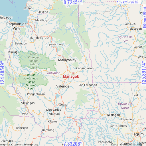
Managok GPS coordinates[2]
8° 1' 44.004" North, 125° 11' 18.996" East
| Map corner | latitude | longitude |
|---|---|---|
| Upper-left | 8.72451°, | 124.48549° |
| Center: | 8.02889°, | 125.18861° |
| Lower-right: | 7.33208°, | 125.89174° |
| Map W x H: | 154.8×154.8 km | = 96.2×96.2mi |
| max Lat: | 20.78733° ⇑82.4% North |
| Managok: | 8.02889° |
| min Lat: | ⇓17.6% South 4.65442° |
| min Long | Managok | max Long |
| 117.04868° | 125.18861° | 126.58417° |
| W 90.2%⇐ | ⇒9.8% E |
Elevation
Elevation of Managok is 346 m = 1135 ft, and this is 258.1 m = 847 ft above average elevation for this country.
| Max E: |
2262 m = 7421 ft | 6.6% |
| Managok | 346 m 1135 ft | |
| Avg. | 87.9 m = 288 ft | |
Min E: |
-2 m = -7 ft | 93.4% |
See also: Philippines elevation on elevation.city.
Geographical zone
Managok is located in North Torrid zone (between Equator and Tropic of Cancer). Distance of Equator is 892.7 km =554.7 mi to South.| Distance of | km | miles | from Managok |
|---|---|---|---|
| North Pole | 9114.3 | 5663.4 | to North |
| Arctic Circle | 6508.4 | 4044.1 | to North |
| Tropic Cancer | 1713.2 | 1064.5 | to North |
| Equator | 892.7 | 554.7 | to South |


Nearby cities:
15 places around Managok: (largest is in red/bold)
• Aglayan
6.7 km =4.2 mi,  295°
295°
• Bantuanon
13.1 km =8.1 mi,  263°
263°
• Bugcaon
8.6 km =5.3 mi,  282°
282°
• Cabangahan
5.7 km =3.5 mi, 263°
• Casisang
14 km =8.7 mi,  330°
330°
• Imbatug
10.9 km =6.8 mi,  74°
74°
• Kabulohan
9.8 km =6.1 mi,  80°
80°
• Laguitas
9.3 km =5.8 mi,  316°
316°
• Linabo
4.6 km =2.9 mi,  307°
307°
• Lumbayao
2.8 km =1.7 mi,  240°
240°
• Maglamin
8.4 km =5.2 mi, 72°
• Mailag
8.6 km =5.3 mi,  220°
220°
• Malaybalay
15.8 km =9.8 mi, 334°
• San Carlos
14.5 km =9 mi, 237°
• Sumpong
16.8 km =10.4 mi, 332°
Sources, notices
• [Note1] Compared only with cities in Philippines existing in our database
• [Src1] Map data: © OpenStreetMap contributors (CC-BY-SA)
• [Src2] Other city data from geonames.org with taken over terms of usage.
• [Src3] Geographical zone / Annual Mean Temperature by Robert A. Rohde @ Wikipedia
