Gabi geodata
Gabi (Western Visayas) is a populated place; located in Philippines in Asia/Manila (GMT+8) time zone. With population of 2,189 people, there are 3909 cities with bigger population in this country. Compared to other cities in Philippines, 50.3% of cities are located further ↑North; 59.1% of cities are located further ←West and 97.1% of cities have higher elevation than Gabi. Note1


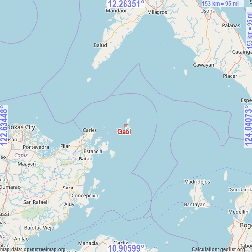
Gabi GPS coordinates[2]
11° 35' 44.16" North, 123° 20' 15.36" East
| Map corner | latitude | longitude |
|---|---|---|
| Upper-left | 12.28351°, | 122.63448° |
| Center: | 11.5956°, | 123.3376° |
| Lower-right: | 10.90599°, | 124.04073° |
| Map W x H: | 153.2×153.2 km | = 95.2×95.2mi |
| max Lat: | 20.78733° ⇑50.3% North |
| Gabi: | 11.5956° |
| min Lat: | ⇓49.7% South 4.65442° |
| min Long | Gabi | max Long |
| 117.04868° | 123.3376° | 126.58417° |
| W 59.1%⇐ | ⇒40.9% E |
Elevation
Elevation of Gabi is 4 m = 13 ft, and this is 83.9 m = 275 ft below average elevation for this country.
| Max E: |
2262 m = 7421 ft | 97.1% |
| Avg. | 87.9 m = 288 ft | |
| Gabi | 4 m = 13 ft | |
Min E: |
-2 m = -7 ft | 2.9% |
See also: Philippines elevation on elevation.city.
Geographical zone
Gabi is located in North Torrid zone (between Equator and Tropic of Cancer). Distance of Equator is 1289.3 km =801.1 mi to South.| Distance of | km | miles | from Gabi |
|---|---|---|---|
| North Pole | 8717.8 | 5417 | to North |
| Arctic Circle | 6111.9 | 3797.8 | to North |
| Tropic Cancer | 1316.6 | 818.1 | to North |
| Equator | 1289.3 | 801.1 | to South |


Nearby cities:
15 places around Gabi: (largest is in red/bold)
• Balasan
30.4 km =18.9 mi,  243°
243°
• Bancal
20.3 km =12.6 mi,  258°
258°
• Batad
31.9 km =19.8 mi,  231°
231°
• Bayas
24.8 km =15.4 mi,  223°
223°
• Binon-an
30.8 km =19.1 mi, 223°
• Cabilao
22 km =13.7 mi,  253°
253°
• Carles
22.3 km =13.9 mi, 263°
• Cassanayan
32.4 km =20.1 mi, 254°
• Estancia
25.6 km =15.9 mi, 232°
• Granada
4.4 km =2.7 mi,  17°
17°
• Guinticgan
23.6 km =14.7 mi, 261°
• Lantangan
1.5 km =0.9 mi, 237°
• Platagata
38 km =23.6 mi,  211°
211°
• San Fernando
18 km =11.2 mi, 212°
• Tarong
23.5 km =14.6 mi, 252°
Sources, notices
• [Note1] Compared only with cities in Philippines existing in our database
• [Src1] Map data: © OpenStreetMap contributors (CC-BY-SA)
• [Src2] Other city data from geonames.org with taken over terms of usage.
• [Src3] Geographical zone / Annual Mean Temperature by Robert A. Rohde @ Wikipedia
