Camingawan geodata
Camingawan (Western Visayas) is a populated place; located in Philippines in Asia/Manila (GMT+8) time zone. With population of 7,820 people, there are 788 cities with bigger population in this country. Compared to other cities in Philippines, 69.4% of cities are located further ↑North; 50.9% of cities are located further ←West and 81.4% of cities have lower elevation than Camingawan. Note1
Administrative division(s):
- Level 1: Western Visayas
- Level 2: Province of Negros Occidental
- Level 3: City of Kabankalan


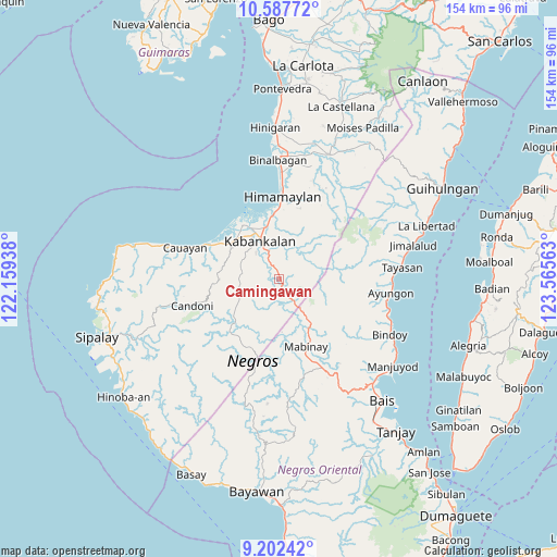
Camingawan GPS coordinates[2]
9° 53' 44.88" North, 122° 51' 45" East
| Map corner | latitude | longitude |
|---|---|---|
| Upper-left | 10.58772°, | 122.15938° |
| Center: | 9.8958°, | 122.8625° |
| Lower-right: | 9.20242°, | 123.56563° |
| Map W x H: | 154×154 km | = 95.7×95.7mi |
| max Lat: | 20.78733° ⇑69.4% North |
| Camingawan: | 9.8958° |
| min Lat: | ⇓30.6% South 4.65442° |
| min Long | Camingawan | max Long |
| 117.04868° | 122.8625° | 126.58417° |
| W 50.9%⇐ | ⇒49.1% E |
Elevation
Elevation of Camingawan is 102 m = 335 ft, and this is 14.1 m = 46 ft above average elevation for this country.
| Max E: |
2262 m = 7421 ft | 18.6% |
| Camingawan | 102 m 335 ft | |
| Avg. | 87.9 m = 288 ft | |
Min E: |
-2 m = -7 ft | 81.4% |
See also: Philippines elevation on elevation.city.
Geographical zone
Camingawan is located in North Torrid zone (between Equator and Tropic of Cancer). Distance of Equator is 1100.3 km =683.7 mi to South.| Distance of | km | miles | from Camingawan |
|---|---|---|---|
| North Pole | 8906.8 | 5534.4 | to North |
| Arctic Circle | 6300.9 | 3915.2 | to North |
| Tropic Cancer | 1505.6 | 935.5 | to North |
| Equator | 1100.3 | 683.7 | to South |


Nearby cities:
15 places around Camingawan: (largest is in red/bold)
• Abis
21.8 km =13.5 mi,  155°
155°
• Bocana
20.1 km =12.5 mi,  309°
309°
• Consuelo
16.3 km =10.1 mi,  315°
315°
• Daliciasao
14.9 km =9.3 mi, 312°
• Dancalan
16.6 km =10.3 mi, 305°
• Himamaylan
22.6 km =14 mi,  2°
2°
• Ilog
17.8 km =11.1 mi, 324°
• Kabankalan
11.1 km =6.9 mi,  331°
331°
• Mabinay
19.2 km =11.9 mi,  167°
167°
• Manalad
15.4 km =9.6 mi, 322°
• Orong
5.9 km =3.7 mi, 321°
• Suay
17.7 km =11 mi,  352°
352°
• Tabu
16.7 km =10.4 mi,  268°
268°
• Tambo
21.2 km =13.2 mi,  90°
90°
• Vista Alegre
15.5 km =9.6 mi, 317°
Sources, notices
• [Note1] Compared only with cities in Philippines existing in our database
• [Src1] Map data: © OpenStreetMap contributors (CC-BY-SA)
• [Src2] Other city data from geonames.org with taken over terms of usage.
• [Src3] Geographical zone / Annual Mean Temperature by Robert A. Rohde @ Wikipedia
