Calizo geodata
Calizo (Western Visayas) is a populated place; located in Philippines in Asia/Manila (GMT+8) time zone. With population of 3,527 people, there are 2038 cities with bigger population in this country. Compared to other cities in Philippines, 50.5% of cities are located further ↑North; 56.3% of cities are located further →East and 50.3% of cities have higher elevation than Calizo. Note1


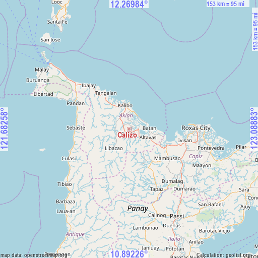
Calizo GPS coordinates[2]
11° 34' 54.84" North, 122° 23' 8.52" East
| Map corner | latitude | longitude |
|---|---|---|
| Upper-left | 12.26984°, | 121.68258° |
| Center: | 11.5819°, | 122.3857° |
| Lower-right: | 10.89226°, | 123.08883° |
| Map W x H: | 153.2×153.2 km | = 95.2×95.2mi |
| max Lat: | 20.78733° ⇑50.5% North |
| Calizo: | 11.5819° |
| min Lat: | ⇓49.5% South 4.65442° |
| min Long | Calizo | max Long |
| 117.04868° | 122.3857° | 126.58417° |
| W 43.7%⇐ | ⇒56.3% E |
Elevation
Elevation of Calizo is 23 m = 75 ft, and this is 64.9 m = 213 ft below average elevation for this country.
| Max E: |
2262 m = 7421 ft | 50.3% |
| Avg. | 87.9 m = 288 ft | |
| Calizo | 23 m = 75 ft | |
Min E: |
-2 m = -7 ft | 49.7% |
See also: Philippines elevation on elevation.city.
Geographical zone
Calizo is located in North Torrid zone (between Equator and Tropic of Cancer). Distance of Equator is 1287.8 km =800.2 mi to South.| Distance of | km | miles | from Calizo |
|---|---|---|---|
| North Pole | 8719.3 | 5417.9 | to North |
| Arctic Circle | 6113.4 | 3798.7 | to North |
| Tropic Cancer | 1318.1 | 819 | to North |
| Equator | 1287.8 | 800.2 | to South |


Nearby cities:
15 places around Calizo: (largest is in red/bold)
• Aranas Sur
2.1 km =1.3 mi,  166°
166°
• Arcangel
6.4 km =4 mi,  222°
222°
• Balete
3 km =1.9 mi,  191°
191°
• Bañga
8.5 km =5.3 mi,  318°
318°
• Cortez
5.9 km =3.7 mi, 167°
• Feliciano
3 km =1.9 mi,  263°
263°
• Guinoaliuan
8.4 km =5.2 mi,  359°
359°
• Lalab
4.7 km =2.9 mi,  99°
99°
• Linabuan
8.3 km =5.2 mi,  338°
338°
• Linabuan Sur
8.9 km =5.5 mi,  330°
330°
• Morales
4.2 km =2.6 mi, 194°
• New Washington
9.2 km =5.7 mi,  33°
33°
• Polo
8 km =5 mi,  271°
271°
• Rosario
9.1 km =5.7 mi, 270°
• Tugas
3.5 km =2.2 mi,  353°
353°
Sources, notices
• [Note1] Compared only with cities in Philippines existing in our database
• [Src1] Map data: © OpenStreetMap contributors (CC-BY-SA)
• [Src2] Other city data from geonames.org with taken over terms of usage.
• [Src3] Geographical zone / Annual Mean Temperature by Robert A. Rohde @ Wikipedia
