Buensuseso geodata
Buensuseso (Central Luzon) is a populated place; located in Philippines in Asia/Manila (GMT+8) time zone. With population of 3,729 people, there are 1895 cities with bigger population in this country. Compared to other cities in Philippines, 79.2% of cities are located further ↓South; 85.7% of cities are located further →East and 66.4% of cities have lower elevation than Buensuseso. Note1


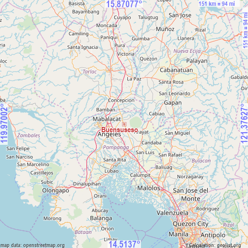
Buensuseso GPS coordinates[2]
15° 11' 35.988" North, 120° 40' 23.304" East
| Map corner | latitude | longitude |
|---|---|---|
| Upper-left | 15.87077°, | 119.97002° |
| Center: | 15.19333°, | 120.67314° |
| Lower-right: | 14.5137°, | 121.37627° |
| Map W x H: | 150.9×150.9 km | = 93.8×93.8mi |
| max Lat: | 20.78733° ⇑20.8% North |
| Buensuseso: | 15.19333° |
| min Lat: | ⇓79.2% South 4.65442° |
| min Long | Buensuseso | max Long |
| 117.04868° | 120.67314° | 126.58417° |
| W 14.3%⇐ | ⇒85.7% E |
Elevation
Elevation of Buensuseso is 44 m = 144 ft, and this is 43.9 m = 144 ft below average elevation for this country.
| Max E: |
2262 m = 7421 ft | 33.6% |
| Avg. | 87.9 m = 288 ft | |
| Buensuseso | 44 m = 144 ft | |
Min E: |
-2 m = -7 ft | 66.4% |
See also: Philippines elevation on elevation.city.
Geographical zone
Buensuseso is located in North Torrid zone (between Equator and Tropic of Cancer). Distance of this Northern Tropic circle is 916.6 km =569.5 mi to North.| Distance of | km | miles | from Buensuseso |
|---|---|---|---|
| North Pole | 8317.7 | 5168.4 | to North |
| Arctic Circle | 5711.8 | 3549.1 | to North |
| Tropic Cancer | 916.6 | 569.5 | to North |
| Equator | 1689.3 | 1049.7 | to South |


Nearby cities:
15 places around Buensuseso: (largest is in red/bold)
• Acli
8.4 km =5.2 mi,  201°
201°
• Anao
6.1 km =3.8 mi,  161°
161°
• Arenas
2.9 km =1.8 mi,  152°
152°
• Balibago
9 km =5.6 mi,  247°
247°
• Cauayan
4.7 km =2.9 mi,  181°
181°
• Culubasa
5.9 km =3.7 mi, 202°
• Magalang
2.8 km =1.7 mi,  329°
329°
• Malino
7.4 km =4.6 mi, 179°
• Pandacaqui
3.1 km =1.9 mi,  219°
219°
• Panlinlang
3.1 km =1.9 mi,  111°
111°
• San Antonio
4.8 km =3 mi, 160°
• San Isidro
5.8 km =3.6 mi,  323°
323°
• San Roque
7.9 km =4.9 mi,  343°
343°
• Santo Niño
6.4 km =4 mi,  40°
40°
• Tal I Mun Doc
2.4 km =1.5 mi,  31°
31°
Sources, notices
• [Note1] Compared only with cities in Philippines existing in our database
• [Src1] Map data: © OpenStreetMap contributors (CC-BY-SA)
• [Src2] Other city data from geonames.org with taken over terms of usage.
• [Src3] Geographical zone / Annual Mean Temperature by Robert A. Rohde @ Wikipedia
