Santo Niño geodata
Santo Niño (Central Luzon) is a populated place; located in Philippines in Asia/Manila (GMT+8) time zone. With population of 2,390 people, there are 3482 cities with bigger population in this country. Compared to other cities in Philippines, 79.5% of cities are located further ↓South; 84.6% of cities are located further →East and 56.6% of cities have lower elevation than Santo Niño. Note1


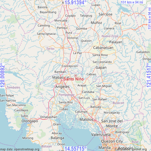
Santo Niño GPS coordinates[2]
15° 14' 11.904" North, 120° 42' 43.344" East
| Map corner | latitude | longitude |
|---|---|---|
| Upper-left | 15.91394°, | 120.00892° |
| Center: | 15.23664°, | 120.71204° |
| Lower-right: | 14.55715°, | 121.41517° |
| Map W x H: | 150.9×150.9 km | = 93.8×93.8mi |
| max Lat: | 20.78733° ⇑20.5% North |
| Santo Niño: | 15.23664° |
| min Lat: | ⇓79.5% South 4.65442° |
| min Long | Santo Niño | max Long |
| 117.04868° | 120.71204° | 126.58417° |
| W 15.4%⇐ | ⇒84.6% E |
Elevation
Elevation of Santo Niño is 29 m = 95 ft, and this is 58.9 m = 193 ft below average elevation for this country.
| Max E: |
2262 m = 7421 ft | 43.4% |
| Avg. | 87.9 m = 288 ft | |
| Santo Niño | 29 m = 95 ft | |
Min E: |
-2 m = -7 ft | 56.6% |
See also: Philippines elevation on elevation.city.
Geographical zone
Santo Niño is located in North Torrid zone (between Equator and Tropic of Cancer). Distance of this Northern Tropic circle is 911.8 km =566.6 mi to North.| Distance of | km | miles | from Santo Niño |
|---|---|---|---|
| North Pole | 8312.9 | 5165.4 | to North |
| Arctic Circle | 5707 | 3546.2 | to North |
| Tropic Cancer | 911.8 | 566.6 | to North |
| Equator | 1694.2 | 1052.7 | to South |


Nearby cities:
15 places around Santo Niño: (largest is in red/bold)
• Almendras
4.6 km =2.9 mi,  341°
341°
• Arenas
7.9 km =4.9 mi,  200°
200°
• Balutu
7.2 km =4.5 mi, 342°
• Buensuseso
6.4 km =4 mi,  220°
220°
• Cauayan
10.4 km =6.5 mi, 204°
• Magalang
6.1 km =3.8 mi,  246°
246°
• Pandacaqui
9.5 km =5.9 mi, 220°
• Panlinlang
6.1 km =3.8 mi,  192°
192°
• San Antonio
7 km =4.3 mi,  321°
321°
• San Antonio
9.7 km =6 mi, 195°
• San Isidro
7.6 km =4.7 mi,  268°
268°
• San Mateo
9.7 km =6 mi,  114°
114°
• San Roque
7 km =4.3 mi,  293°
293°
• San Vicente
8.7 km =5.4 mi, 315°
• Tal I Mun Doc
4 km =2.5 mi,  226°
226°
Sources, notices
• [Note1] Compared only with cities in Philippines existing in our database
• [Src1] Map data: © OpenStreetMap contributors (CC-BY-SA)
• [Src2] Other city data from geonames.org with taken over terms of usage.
• [Src3] Geographical zone / Annual Mean Temperature by Robert A. Rohde @ Wikipedia
