Betwagan geodata
Betwagan (Cordillera) is a populated place; located in Philippines in Asia/Manila (GMT+8) time zone. With population of 2,132 people, there are 4027 cities with bigger population in this country. Compared to other cities in Philippines, 94% of cities are located further ↓South; 77.3% of cities are located further →East and 98.7% of cities have lower elevation than Betwagan. Note1


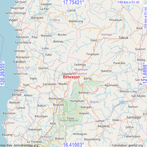
Betwagan GPS coordinates[2]
17° 4' 59.988" North, 120° 58' 0.012" East
| Map corner | latitude | longitude |
|---|---|---|
| Upper-left | 17.75421°, | 120.26355° |
| Center: | 17.08333°, | 120.96667° |
| Lower-right: | 16.41003°, | 121.6698° |
| Map W x H: | 149.5×149.5 km | = 92.9×92.9mi |
| max Lat: | 20.78733° ⇑6% North |
| Betwagan: | 17.08333° |
| min Lat: | ⇓94% South 4.65442° |
| min Long | Betwagan | max Long |
| 117.04868° | 120.96667° | 126.58417° |
| W 22.7%⇐ | ⇒77.3% E |
Elevation
Elevation of Betwagan is 868 m = 2848 ft, and this is 780.1 m = 2559 ft above average elevation for this country.
| Max E: |
2262 m = 7421 ft | 1.3% |
| Betwagan | 868 m 2848 ft | |
| Avg. | 87.9 m = 288 ft | |
Min E: |
-2 m = -7 ft | 98.7% |
See also: Philippines elevation on elevation.city.
Geographical zone
Betwagan is located in North Torrid zone (between Equator and Tropic of Cancer). Distance of this Northern Tropic circle is 706.4 km =438.9 mi to North.| Distance of | km | miles | from Betwagan |
|---|---|---|---|
| North Pole | 8107.6 | 5037.8 | to North |
| Arctic Circle | 5501.7 | 3418.6 | to North |
| Tropic Cancer | 706.4 | 438.9 | to North |
| Equator | 1899.5 | 1180.3 | to South |


Nearby cities:
15 places around Betwagan: (largest is in red/bold)
• Banaue
21.4 km =13.3 mi,  151°
151°
• Barlig
15.5 km =9.6 mi,  109°
109°
• Bauko
14.8 km =9.2 mi,  225°
225°
• Besao
11.6 km =7.2 mi,  276°
276°
• Bocos
19.9 km =12.4 mi, 151°
• Bontoc
1.2 km =0.7 mi,  67°
67°
• Cervantes
26.6 km =16.5 mi,  247°
247°
• Guinsadan
16.9 km =10.5 mi,  218°
218°
• Hapao
23.2 km =14.4 mi,  166°
166°
• Monamon
23.9 km =14.9 mi,  201°
201°
• Sabangan
10 km =6.2 mi,  207°
207°
• Sadanga
10.6 km =6.6 mi,  30°
30°
• Sadsadan
19.8 km =12.3 mi, 212°
• Sagada
7.1 km =4.4 mi,  270°
270°
• Tadian
18.4 km =11.4 mi,  237°
237°
Sources, notices
• [Note1] Compared only with cities in Philippines existing in our database
• [Src1] Map data: © OpenStreetMap contributors (CC-BY-SA)
• [Src2] Other city data from geonames.org with taken over terms of usage.
• [Src3] Geographical zone / Annual Mean Temperature by Robert A. Rohde @ Wikipedia
