Balagtas geodata
Balagtas (Central Luzon) is a seat of a third-order administrative division; located in Philippines in Asia/Manila (GMT+8) time zone. With population of 59,826 people, there are 158 cities with bigger population in this country. Compared to other cities in Philippines, 75.8% of cities are located further ↓South; 80.5% of cities are located further →East and 70.2% of cities have higher elevation than Balagtas. Note1


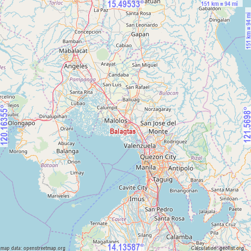
Balagtas GPS coordinates[2]
14° 49' 0.012" North, 120° 52' 0.012" East
| Map corner | latitude | longitude |
|---|---|---|
| Upper-left | 15.49533°, | 120.16355° |
| Center: | 14.81667°, | 120.86667° |
| Lower-right: | 14.13587°, | 121.5698° |
| Map W x H: | 151.2×151.2 km | = 94×94mi |
| max Lat: | 20.78733° ⇑24.2% North |
| Balagtas: | 14.81667° |
| min Lat: | ⇓75.8% South 4.65442° |
| min Long | Balagtas | max Long |
| 117.04868° | 120.86667° | 126.58417° |
| W 19.5%⇐ | ⇒80.5% E |
Elevation
Elevation of Balagtas is 12 m = 39 ft, and this is 75.9 m = 249 ft below average elevation for this country.
| Max E: |
2262 m = 7421 ft | 70.2% |
| Avg. | 87.9 m = 288 ft | |
| Balagtas | 12 m = 39 ft | |
Min E: |
-2 m = -7 ft | 29.8% |
See also: Balagtas elevation on elevation.city.
Geographical zone
Balagtas is located in North Torrid zone (between Equator and Tropic of Cancer). Distance of this Northern Tropic circle is 958.5 km =595.6 mi to North.| Distance of | km | miles | from Balagtas |
|---|---|---|---|
| North Pole | 8359.6 | 5194.4 | to North |
| Arctic Circle | 5753.7 | 3575.2 | to North |
| Tropic Cancer | 958.5 | 595.6 | to North |
| Equator | 1647.5 | 1023.7 | to South |


Nearby cities:
15 places around Balagtas: (largest is in red/bold)
• Angat
3 km =1.9 mi,  153°
153°
• Bocaue
6.7 km =4.2 mi,  107°
107°
• Bulihan
7.3 km =4.5 mi,  25°
25°
• Dampol
10.6 km =6.6 mi,  332°
332°
• Guiguinto
2.6 km =1.6 mi,  44°
44°
• Lambakin
7.4 km =4.6 mi,  180°
180°
• Malolos
6.8 km =4.2 mi,  296°
296°
• Manatal
8.6 km =5.3 mi, 38°
• Marilao
11 km =6.8 mi,  126°
126°
• Paombong
8.5 km =5.3 mi,  280°
280°
• Plaridel
7.9 km =4.9 mi,  352°
352°
• Pulilan
9.6 km =6 mi, 348°
• Pulong Gubat
6.4 km =4 mi, 41°
• Santa Maria
10.4 km =6.5 mi,  87°
87°
• Sulucan
6.8 km =4.2 mi, 111°
Sources, notices
• [Note1] Compared only with cities in Philippines existing in our database
• [Src1] Map data: © OpenStreetMap contributors (CC-BY-SA)
• [Src2] Other city data from geonames.org with taken over terms of usage.
• [Src3] Geographical zone / Annual Mean Temperature by Robert A. Rohde @ Wikipedia
